
CLARKSVILLE, Tenn. (CLARKSVILLENOW) – A wintry mix of snow and rain may hit the Clarksville area again this week.
Rainfall totals of 1 to 1.5 inches will be possible through Wednesday night. This coupled with saturated grounds from last weekend’s rainfall could cause minor flooding concerns in low lying areas.
As the cold front enters the area later tonight temperatures will drop below freezing and rain will gradually transition to snow. The main timing for snowfall will be after 8 p.m. west of I-65. Snow accumulations may be up to half an inch.
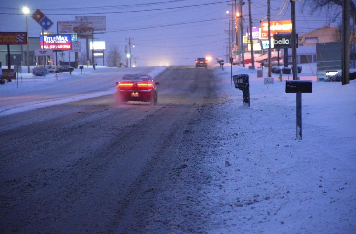
As temperatures fall into the twenties late tonight any wet roads may freeze, producing slick spots. This along with light snowfall amounts may produce slick spots during the morning commute Thursday. Use caution on back roads early in the morning.
Temperatures are expected to rise into the 40s Thursday afternoon, alleviating any travel impacts.
RELATED: Emergency warming shelter opening Wednesday in Clarksville
A cold pattern will be in place late this week through the weekend. A series of fast moving disturbances could bring a few snow showers at times, but accumulation amounts are still uncertain.
For weather updates visit the ClarksvilleNow Weather page, follow us on Facebook and download the ClarksvilleNow app to receive severe weather alerts.


