


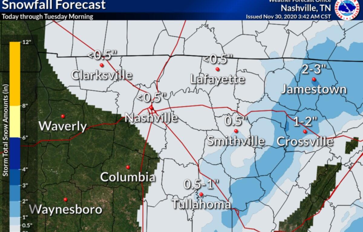

CLARKSVILLE, Tenn. (CLARKSVILLENOW) – Clarksville has seen scattered flurries this morning, but more snow is coming by about noon, with accumulations of up to half an inch.
Precipitation Monday morning was a mix of light rain and flurries.
“A changeover to all snow is expected by noon as the atmosphere continues to cool,” according to an alert from the National Weather Service.
“Snow accumulations up to half an inch are possible for areas west of the Cumberland Plateau. No major impacts are expected, but some isolated slick spots could develop as temperatures continue to fall below freezing later today. Snow should taper off late this evening,” the alert said.
Lows tonight will dip to the mid-20s.
Clarksville forecast
Here’s the rest of the forecast.
Tonight: Mostly cloudy. Lows in the mid 20s. West winds 5 to 15 mph.
Tuesday: Partly cloudy in the morning then clearing. Highs in the lower 40s. West winds 5 to 10 mph.
Tuesday night: Clear. Lows in the mid 20s. Southwest winds up to 5 mph.
Wednesday: Mostly sunny. Highs in the lower 50s. Southeast winds up to 5 mph.
Wednesday night: Partly cloudy in the evening, then mostly cloudy with a 20 percent chance of rain showers after midnight. Lows around 30.
Thursday and Thursday night: Mostly cloudy with a 30 percent chance of rain showers and snow. Highs in the upper 40s. Lows in the lower 30s.
Friday: Mostly cloudy with a slight chance of rain in the morning, then partly cloudy with a slight chance of rain showers in the afternoon. Highs in the upper 40s. Chance of precipitation 20 percent.
Friday night through Saturday night: Partly cloudy. Lows in the upper 20s. Highs in the upper 40s.
Sunday: Partly cloudy in the morning then becoming mostly sunny. Highs in the upper 40s.