
Update, 4:20 p.m.: Power outages in Stewart County are down to 10. There are still 127 customers without power in Montgomery County.
Update, 3:35 p.m.: The Severe Thunderstorm Watch has been canceled for Montgomery and surrounding counties.
Update, 2:50 p.m.: Cumberland Electric Membership Corp. reported 115 customers without power in Montgomery County.
Another 658 people lost power in Stewart County. About 920 people there were without power earlier.
“Crews are working to remove a tree off the lines which has caused this outage,” CEMC reported. “Thank you for your continued patience as we work to restore power as soon as possible.”
CDE Lightband reported no outages in Clarksville.
Update, 2:40 p.m.: The Severe Thunderstorm Warning has been extended to Dickson and Cheatham counties, through 3:15 p.m.
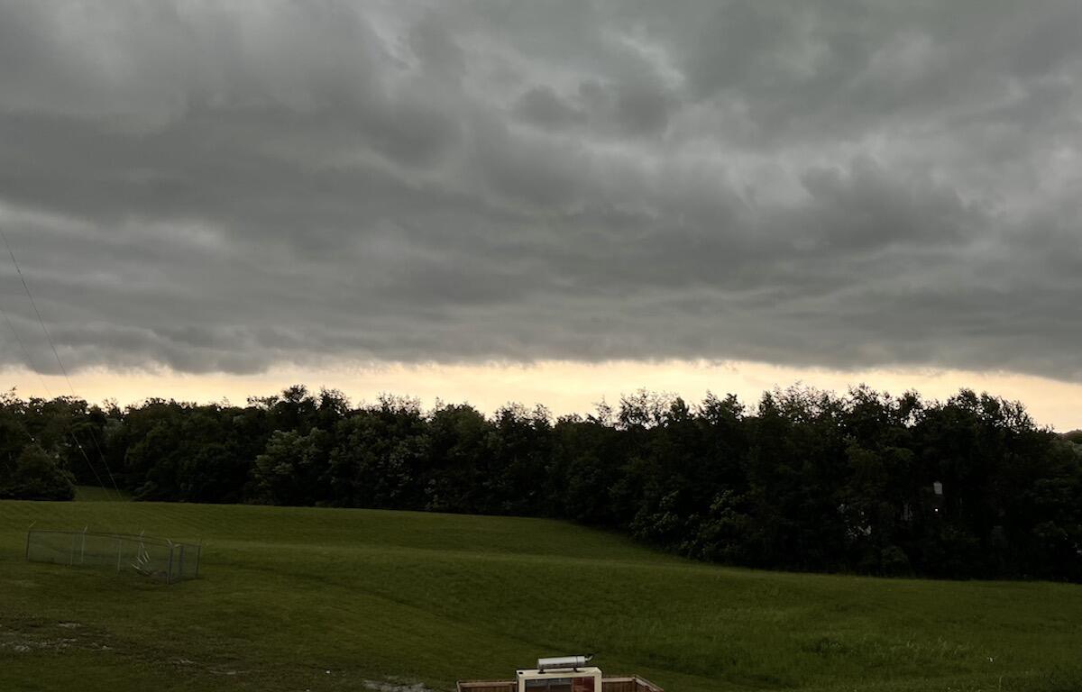
At 2:35 p.m., a severe thunderstorm was located 8 miles west of Ashland City, moving east at 40 mph with 60 mph wind gusts, the NWS alert said.
Update, 2:06 p.m.: A Severe Thunderstorm Warning has been issued for Montgomery, Houston, Dickson and Cheatham counties until 2:45 p.m.
At 2:05 p.m., severe thunderstorms were located along a line extending from 13 miles east of Erin to near Waverly, moving east at 30 mph with 60 mph wind gusts, according to the NWS.
“Expect damage to roofs, siding and trees,” the alert said. “For your protection move to an interior room on the lowest floor of a building.”
Update, 1:20 p.m.: A Flash Flood Warning has been issued for Christian County, Kentucky, through 4:15 p.m.
Trigg, Lyon and Caldwell counties in Kentucky are under a Flash Flood Warning until 3:30 p.m.
Radar shows the storm is currently northwest of Clarksville, in a line that is moving east.

Previously:
CLARKSVILLE, TN (CLARKSVILLE NOW) – A Severe Thunderstorm Watch has been issued for Montgomery and surrounding counties through 8 p.m. today.
At 12:53 p.m., Doppler radar was tracking a strong thunderstorm 12 miles northwest of Dover, moving northeast at 35 mph, according to the National Weather Service.
Winds in excess of 40 mph will be possible with this storm. Locations impacted include Dover, Big Rock, Land Between The Lakes and Indian Mound.
“Torrential rainfall is occurring with this storm, and may lead to localized flooding,” the NWS alert said. “Do not drive your vehicle through flooded roadways.”
The watch area includes in Tennessee Montgomery, Cheatham, Dickson, Houston, Robertson and Stewart counties and in Kentucky Trigg, Todd, Logan and Christian counties.
For local severe weather alerts, tune in to radio stations Beaver 100.3, Q108, Z97.5, Rewind 94.3 or NewZee 105.5.
This article will be updated.