
CLARKSVILLE, TN (CLARKSVILLE NOW) – Mild and breezy conditions will continue through the weekend before a sharp cold front brings rain, falling temperatures and a brief chance of snow early next week.
Showers increase Sunday afternoon and evening, followed by much colder air that will send highs into the 30s by Monday, according to the National Weather Service.
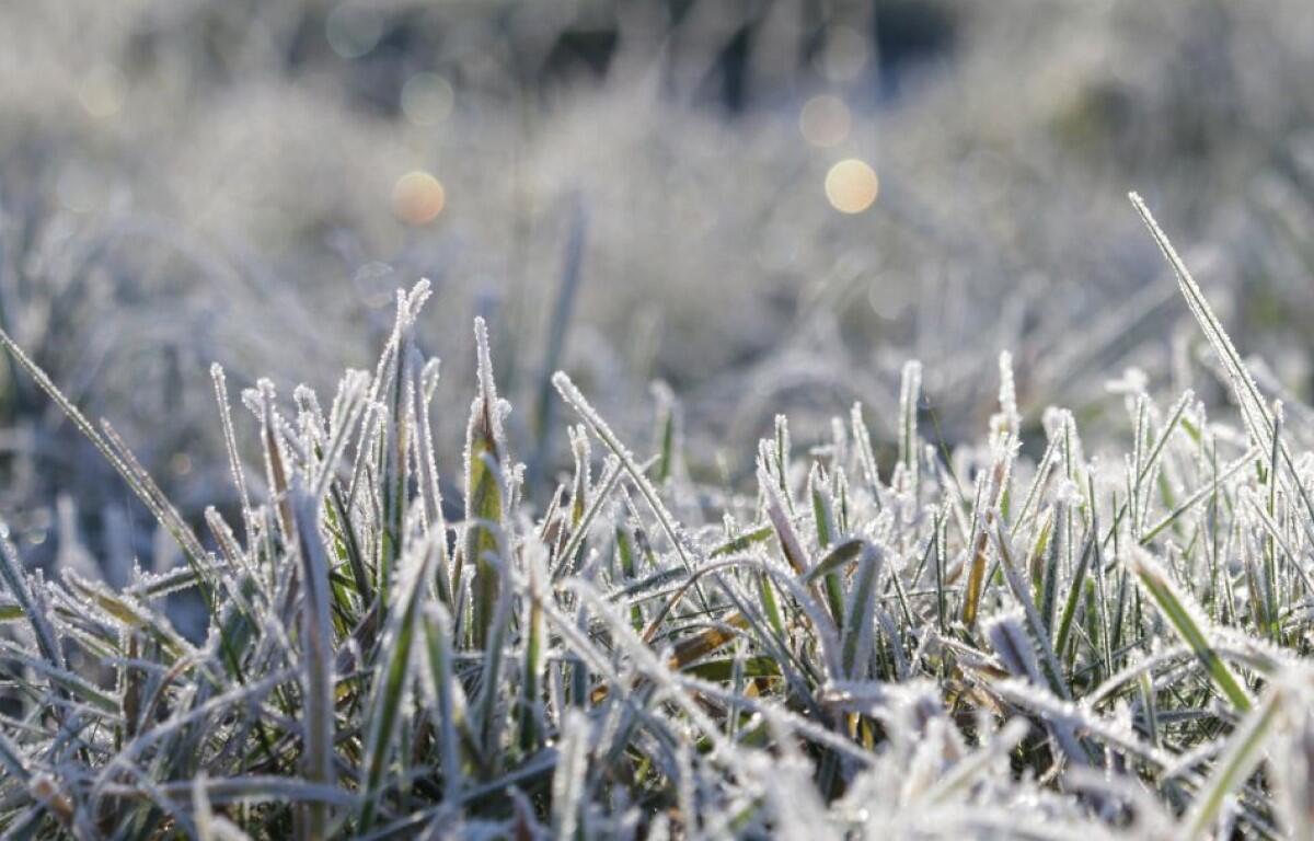
Clarksville forecast
Here’s the day-by-day outlook.
- Friday: A slight chance of showers between 8 a.m. and 10 a.m. Mostly cloudy, with a high near 72. Southwest wind 10 to 15 mph, with gusts as high as 25 mph. Chance of precipitation is 20%.
- Friday night: Partly cloudy, with a low around 56. West southwest wind around 5 mph becoming calm in the evening.
- Saturday: Partly sunny, with a high near 73. Calm wind becoming south around 5 mph in the morning.
- Saturday night: Mostly cloudy, with a low around 62. South southwest wind 5 to 10 mph.
- Sunday: A 30 percent chance of showers after noon. Mostly cloudy, with a high near 74. South southwest wind 10 to 15 mph, with gusts as high as 25 mph.
- Sunday night: Showers likely. Cloudy, with a low around 30. South southwest wind around 15 mph becoming northwest after midnight, with gusts as high as 20 mph. Chance of precipitation is 70%.
- Monday: A slight chance of rain and snow showers before noon. Mostly cloudy, with a high near 36. Northwest wind around 15 mph, with gusts as high as 25 mph. Chance of precipitation is 20%.
- Monday night: Partly cloudy, with a low around 18.
- Tuesday: Sunny, with a high near 34.
- Tuesday night: Mostly clear, with a low around 22.
- Wednesday: Sunny, with a high near 44.
| WEATHER UPDATES: Click here for seven-day and hour-by-hour Clarksville weather forecasts