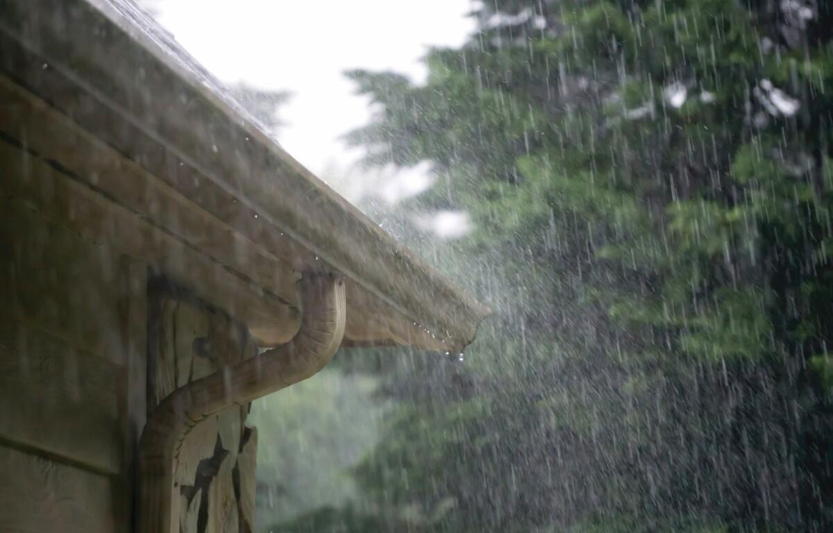

CLARKSVILLE, TN (CLARKSVILLE NOW) – We have a hot and muggy week ahead with a chance of showers and thunderstorms every day.
Monday’s high will be near 90, with a heat index near 100, according to the National Weather Service.
There’s a 50% chance of rain Monday, and that forecast stays about the same every day this week.
| MORE: What’s a heat index? Your guide to summer heat warnings, how to stay safe
Clarksville forecast
Here’s the day-by-day outlook:
- Monday: A 50 percent chance of showers and thunderstorms, mainly after 10am. Mostly sunny, with a high near 90. Heat index values as high as 99. Calm wind becoming west southwest around 5 mph in the morning. New rainfall amounts between a tenth and quarter of an inch, except higher amounts possible in thunderstorms.
- Monday night: Patchy fog before midnight, then patchy fog after 1am. Otherwise, partly cloudy, with a low around 73. West southwest wind around 5 mph becoming calm.
- Tuesday: A 40 percent chance of showers and thunderstorms after 1pm. Mostly sunny, with a high near 91. Calm wind becoming southwest around 5 mph in the afternoon.
- Tuesday night: Partly cloudy, with a low around 73. Calm wind.
- Wednesday: A 40 percent chance of showers and thunderstorms, mainly after 1pm. Mostly sunny, with a high near 93. Calm wind becoming southwest around 5 mph in the morning.
- Wednesday night: Partly cloudy, with a low around 74. Southwest wind around 5 mph becoming calm in the evening.
- Thursday: A 50 percent chance of showers and thunderstorms, mainly after 1pm. Mostly sunny, with a high near 93. Southwest wind around 5 mph.
- Thursday night: A 20 percent chance of showers and thunderstorms. Mostly cloudy, with a low around 74.
- Friday: A 50 percent chance of showers and thunderstorms. Partly sunny, with a high near 91.
- Friday night: A 20 percent chance of showers and thunderstorms. Mostly cloudy, with a low around 73.
| WEATHER UPDATES: Click here for seven-day and hour-by-hour Clarksville weather forecasts