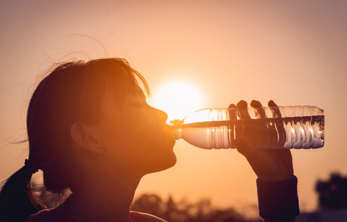

CLARKSVILLE, TN (CLARKSVILLE NOW) – We’re back to triple-digit heat indexes to start the week, plus a strong chance of thunderstorms.
Monday’s high will be 92 with a heat index as high as 101, according to the National Weather Service. Tuesday’s high is 93.
There’s a 60% chance of storms both Monday and Tuesday.
Clarksville forecast
Here’s the day-by-day outlook.
Monday: Showers and thunderstorms likely, mainly between 1pm and 4pm, then showers likely and possibly a thunderstorm after 4pm. Mostly sunny, with a high near 92. Heat index values as high as 101. South southwest wind 5 to 10 mph. Chance of precipitation is 60%. New rainfall amounts between a quarter and half of an inch possible.
Monday night: A 50 percent chance of showers and thunderstorms. Mostly cloudy, with a low around 71. South wind around 5 mph.
Tuesday: A chance of showers and thunderstorms before 9am, then showers likely and possibly a thunderstorm between 9am and 1pm, then a chance of showers and thunderstorms after 1pm. Mostly sunny, with a high near 93. Southwest wind 5 to 10 mph becoming northwest in the afternoon. Chance of precipitation is 60%.
Tuesday night: Mostly clear, with a low around 64. North wind around 5 mph.
Wednesday: Sunny, with a high near 89. Light north wind increasing to 5 to 10 mph in the morning.
Wednesday night: Clear, with a low around 62. North wind around 5 mph becoming calm in the evening.
Thursday: Sunny, with a high near 90. North northeast wind 5 to 10 mph.
Thursday night: Mostly clear, with a low around 63.
Friday: Mostly sunny, with a high near 93.
Friday night: Partly cloudy, with a low around 66.