
CLARKSVILLE, TN (CLARKSVILLE NOW) – We have some brisk days ahead with lows dipping near freezing mid-week.
After a couple of nice days with highs near 70, there’s a chance of showers Tuesday night, when lows will drop to the mid-30s, according to the National Weather Service.
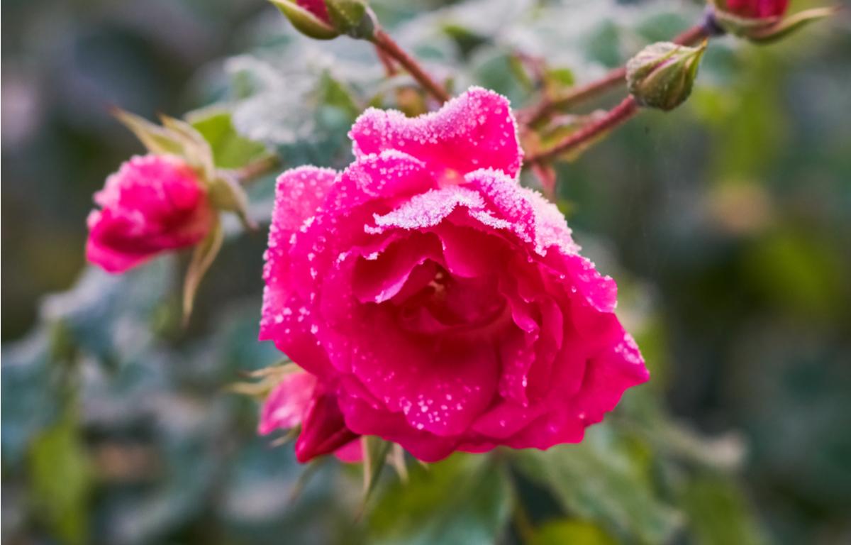
Wednesday night, lows will again reach the mid-30s, and with patchy frost.
Rain will likely return over the weekend.
Clarksville forecast
Here’s the day-by-day outlook.
Monday: Partly cloudy. Highs in the upper 60s. West winds up to 10 mph.
Monday Night: Mostly clear. Lows in the mid 40s. South winds up to 5 mph.
Tuesday: Mostly sunny in the morning then becoming partly cloudy. Highs in the lower 70s. South winds up to 10 mph shifting to the southwest in the afternoon.
Tuesday Night: Mostly cloudy with a 40 percent chance of rain showers. Lows in the mid 30s.
Wednesday: Partly sunny in the morning then becoming partly cloudy. Highs in the lower 50s.
Wednesday Night: Partly cloudy. Areas of frost after midnight. Lows in the mid 30s.
Thursday: Mostly sunny. Areas of frost in the morning. Highs in the lower 60s.
Thursday Night: Mostly clear. Lows in the lower 40s.
Friday: Partly sunny. A 20 percent chance of showers in the afternoon. Highs in the mid 60s.
Friday Night: Mostly cloudy. Chance of showers in the evening, then showers likely after midnight. Lows in the lower 50s. Chance of showers 60 percent.
Saturday: Mostly cloudy with a 50 percent chance of showers. Highs in the mid 60s.