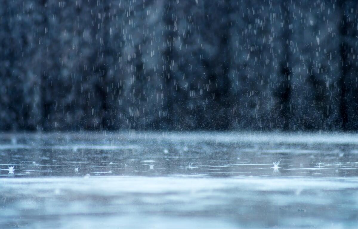

Update, 9:10 p.m.: Montgomery, Robertson and Stewart counties are under a Flood Watch from the NWS until 6 a.m. Friday. “Excessive runoff may result in flooding of creeks, streams, and other low-lying and flood-prone locations. Flooding may occur in poor drainage and urban areas,” the NWS said.
From 1-3 inches of rain has fallen as of Thursday evening, with another 1 inch of rain possible through the night. “Those living in areas prone to flooding should be prepared to take action should flooding develop.”
Previously:
CLARKSVILLE, TN (CLARKSVILLE NOW) – There is a 30% chance of rain Friday between noon and 5 p.m. Once the clouds move out, expect sunny skies and much warmer temperatures for the rest of the weekend.
Sunday will see highs reaching 67, with overnight lows in the 40s, according to the National Weather Service.
Clarksville forecast
Here’s the day-by-day outlook:
- Friday: A 30 percent chance of showers, mainly between noon and 5pm. Cloudy, then gradually becoming mostly sunny, with a high near 65. Southwest wind 10 to 15 mph, with gusts as high as 25 mph.
- Friday night: Mostly cloudy, with a low around 42. West wind 5 to 10 mph becoming north after midnight.
- Saturday: Mostly cloudy, with a high near 54. East northeast wind around 5 mph becoming calm in the afternoon.
- Saturday night: Partly cloudy, with a low around 42. Calm wind becoming south around 5 mph after midnight.
- Sunday: Sunny, with a high near 67. South wind 10 to 15 mph, with gusts as high as 25 mph.
- Sunday night: Partly cloudy, with a low around 47. South southwest wind around 5 mph.
WEATHER UPDATES: Click here for seven-day and hour-by-hour Clarksville weather forecasts