
Update, 9:10 p.m.: The line of storms has moved past Clarksville.
Update, 8:28 p.m.: Doppler radar was tracking a strong thunderstorm near McEwen, or 10 miles southeast of Erin, moving northeast at 55 mph with wind gusts up to 50 mph and penny size hail. Minor hail damage to vegetation is possible.
Previously:
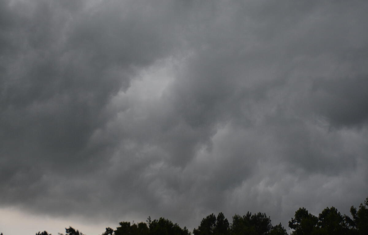
CLARKSVILLE, TN (CLARKSVILLE NOW) – A strong thunderstorm is moving toward Clarksville with wind gusts up to 50 mph.
At 8:21 p.m., Doppler radar was tracking the storm 9 miles east of Dover, moving northeast at 60 mph, according to the National Weather Service. “Gusty winds could knock down tree limbs and blow around unsecured objects,” the NWS said.
Locations impacted include Clarksville, Cumberland City, Indian Mound, Palmyra, Tennessee Ridge, Woodlawn, and Erin. This includes Interstate 24 between mile markers 1 and 9.
| WEATHER UPDATES: Click here for seven-day and hour-by-hour Clarksville weather forecasts