
Update, 10 p.m.: The Tornado Warning has expired. A Watch remains in effect, along with a Severe Thunderstorm Warning.
Update, 9:35 p.m.: A Tornado Warning has been issued for northern Montgomery County until 10 p.m. A severe thunderstorm capable of producing a tornado was indicated by radar near Oak Grove, Kentucky, moving northeast at 60 mph.
“Flying debris will be dangerous to those caught without shelter,” the NWS said. “Mobile homes will be damaged or destroyed. Damage to roofs, windows, and vehicles will occur. Tree damage is likely.”
Update, 9:41 p.m.: Severe thunderstorms were located along a line extending from near Fort Campbell to 6 miles east of Erin, moving east at 65 mph with wind gusts up to 70 mph. The Warning has been extended until 10:30 p.m.
Update, 8:40 p.m.: A Severe Thunderstorm Warning has been issued issued until 9:45 p.m. for western Montgomery County. At 8:37 p.m., a severe thunderstorms was located along a line extending from 8 miles south of Benton to 6 miles west of Huntingdon, moving east at 50 mph with up to 70 mph wind gusts and quarter size hail.
“Hail damage to vehicles is expected. Expect considerable tree damage. Wind damage is also likely to mobile homes, roofs, and outbuildings,” the NWS said.
Update, 8:20 p.m.: A Tornado Watch has been issued through 3 a.m. for Montgomery and surrounding counties. A Watch means conditions are right for a tornado to form. If a tornado is spotted or indicated on radar, a Warning will be issued.
Previously:
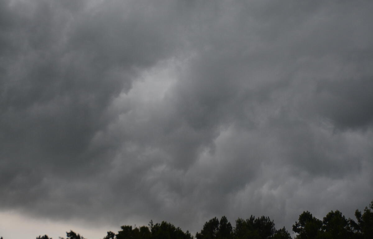
CLARKSVILLE, TN (CLARKSVILLE NOW) – Strong winds and thunderstorms are expected across Clarksville tonight, with storms capable of producing heavy rainfall.
A Wind Advisory is in effect through 7 a.m. Monday, with south winds 15 to 25 mph with gusts of 40 to 45 mph expected ahead of the storm system, according to the National Weather Service.
The storms will usher in a sharp temperature drop overnight, with highs on Monday struggling to reach the mid-30s. Conditions gradually improve through the week, with sunshine returning and temperatures warming back into the 70s by Thursday and Friday.
Clarksville forecast
Here’s the day-by-day outlook.
- Today: A 10 percent chance of showers and thunderstorms after 5 p.m. Mostly cloudy, with a high near 75. Windy, with a south wind 20 to 30 mph, with gusts as high as 40 mph.
- Tonight: Showers and thunderstorms before 1 a.m., then a chance of showers between 1 a.m. and 2 a.m. Some storms could produce heavy rainfall. Low around 31. Windy, with a south wind 20 to 25 mph becoming west in the evening. Winds could gust as high as 40 mph. Chance of precipitation is 100%. New rainfall amounts between three quarters and one inch possible.
- Monday: Mostly cloudy, with a high near 36. West northwest wind 15 to 20 mph, with gusts as high as 30 mph.
- Monday night: Partly cloudy, with a low around 21. West northwest wind 5 to 15 mph, with gusts as high as 20 mph.
- Tuesday: Sunny, with a high near 40. West northwest wind 5 to 10 mph.
- Tuesday night: Mostly cloudy, with a low around 27. Calm wind becoming south around 5 mph after midnight.
- Wednesday: Mostly cloudy, with a high near 58. South southwest wind 10 to 15 mph, with gusts as high as 20 mph.
- Wednesday night: Partly cloudy, with a low around 42. South wind around 5 mph.
- Thursday: Mostly sunny, with a high near 70. Southwest wind 5 to 10 mph.
- Thursday night: Partly cloudy, with a low around 46.
- Friday: Mostly sunny, with a high near 76.
| WEATHER UPDATES: Click here for seven-day and hour-by-hour Clarksville weather forecasts