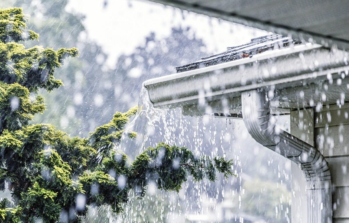

CLARKSVILLE, TN (CLARKSVILLE NOW) – While we’ve had little rain so far from the system moving across the area, Montgomery County is still expected to get 1 to 3 inches over the next 24 hours.
The National Weather Service has put the area under a Flood Watch, extended through 1 p.m. Tuesday. “Scattered showers and thunderstorms continue through Tuesday afternoon,” the NWS said. “With ample amounts of moisture available in the atmosphere and the potential for training storms, flooding will be possible with any storms that develop and remain over an area for an extended period of time.
“Excessive runoff may result in flooding of rivers, creeks, streams, and other low-lying and flood-prone locations,” the NWS said. “Those living in areas prone to flooding should be prepared to take action should flooding develop.”
Meanwhile, heat index values could reach 100 degrees Tuesday afternoon. Sunshine and temperatures in the lower 90s are expected by Wednesday.
Clarksville forecast
Here’s the day-by-day outlook.
- Tonight: A chance of showers and thunderstorms, then showers and possibly a thunderstorm after 4 a.m. Low around 72. South southeast wind 5 to 10 mph. Chance of precipitation is 80%. New rainfall amounts between a quarter and half of an inch possible.
- Tuesday: Showers and possibly a thunderstorm before 10 a.m., then a chance of showers and thunderstorms, mainly between 10 a.m. and 4 p.m. High near 88. Heat index values as high as 100. South southwest wind around 10 mph, with gusts as high as 20 mph. Chance of precipitation is 80%. New rainfall amounts between a quarter and half of an inch possible.
- Tuesday night: A 10% chance of showers and thunderstorms before 7 p.m. Partly cloudy, with a low around 74. South southwest wind around 5 mph.
- Wednesday: Sunny, with a high near 91. Southwest wind 5 to 10 mph.
- Wednesday night: Mostly clear, with a low around 74. South southwest wind around 5 mph.
| WEATHER UPDATES: Click here for seven-day and hour-by-hour Clarksville weather forecasts