
Update, 3:11 p.m.: The Flash Flood Warning has been extended until 5:45 p.m. At 3:11 p.m., Doppler radar indicated thunderstorms producing heavy rain across the warned area. Between 1 and 2 inches of rain have fallen. Additional amounts of 0.5 to 1 inch are possible. Flash flooding is ongoing or expected to begin shortly.
Update, 2:45 p.m.: Here’s a recap of the alerts we’re under in Montgomery County:
- Flash Flood Warning until 3:30 p.m. today
- Flood Watch until Sunday at 1 a.m.
- Wind Advisory until midnight Saturday night
Update, 1:05 p.m.: Heavy rainfall has caused rising water in low-lying areas, according to Clarksville Police. Several roads are closed or blocked due to flooding:
- Trenton Rd. near Hayes St.
- Trento Rd. near Meriwether Rd.
- Crossland Ave. at Greenwood Ave.
“Flooded roadways present a serious hazard, and conditions can change rapidly,” CPD said in a statement. “Please drive carefully, reduce your speed, and keep an eye out for potential flash flooding. Never attempt to cross large areas of standing water, as it may be deeper or more dangerous than it appears. If you encounter flooded roads, please turn around.”
Update, 12:29 p.m.: A Flash Flood Warning has been issued for Montgomery and surrounding counties until 3:30 p.m.
Doppler radar indicated thunderstorms producing heavy rain across the warned area. Between 1 and 2 inches of rain have fallen. The expected rainfall rate is 1 to 2 inches in 3
minutes. Flash flooding is ongoing or expected to begin shortly.
Update, 12:14 p.m.: Doppler radar is tracking a strong thunderstorm along a line extending from 8 miles southeast of Clarksville to 7 miles northwest of Ashland City, moving northeast at 40 mph. Expect wind gusts of 40 mph and pea-sized hail.
Update, 11:55 a.m.: A Severe Thunderstorm Warning has been issued for southeastern Montgomery, northeastern Dickson and northern Cheatham Counties until 12:45 p.m.
At 11:52 a.m. a severe thunderstorm was located 12 miles north of Dickson, moving northeast at 40 mph. with 60 mph wind gusts. Expect damage to roofs, siding, and trees. For your protection move to an interior room on the lowest floor of a building.
Update, 11:45 a.m.: At 11:41 a.m., Doppler radar was tracking strong thunderstorms along a line extending from 13 miles east of Erin to 7 miles northwest of Dickson to 10 miles east of Hurricane Mills. Movement was northeast at 40 mph.
The storm could have wind gusts up to 40 mph and pea size hail. “Gusty winds could knock down tree limbs and blow around unsecured objects. Minor hail damage to vegetation is possible,” the NWS said.
Montgomery and surrounding counties are under a Flood Advisory until 2:45 p.m. Between 1 and 2 inches of rain have fallen, and an additional 1 to 2 inches are expected. This additional rain will result in minor flooding.
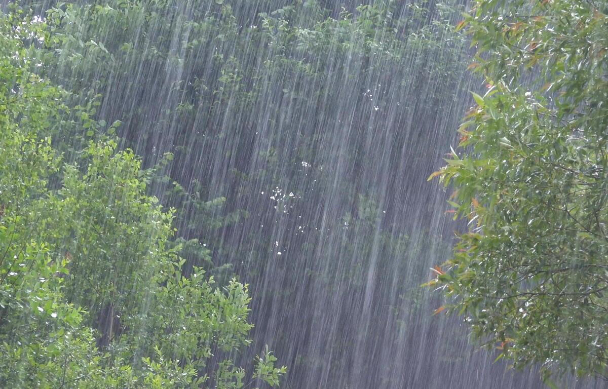
Update, 11 a.m.: The greatest risk for Montgomery County appears to be flash flooding from heavy rain, with 2-3 inches of rain expected by Sunday.
Previously:
CLARKSVILLE, TN (CLARKSVILLE NOW) – The first wave of expected storms blew northwest of Clarksville, and the chances have now lowered that we’ll see severe weather in the second wave. With severe weather still possible all day, we remain under a Wind Advisory until noon Sunday and a Flood Watch until 1 a.m. Sunday.
“Confidence in severe weather across Middle Tennessee continues to increase through Saturday evening,” according to the National Weather Service. “The highest chances for severe weather will be in the afternoon and evening.”
The worst risk of storms will be in the southern portion of Middle Tennessee. For Clarksville, the second wave now carries only a 15%-29% chance of severe wind of 58 mph or more, of 1-inch hail, and of a tornado.
| WEATHER ALERTS: Download our free app for Clarksville-specific severe weather updates
Through the weekend, Clarksville could get 2-3 inches of rainfall, which could lead to flooding.
Clarksville forecast
Here’s the day-by-day outlook:
- Today: A chance of showers and thunderstorms, then showers and possibly a thunderstorm after 8am. Some of the storms could produce heavy rainfall. High near 71. South wind 15 to 20 mph, with gusts as high as 30 mph. Chance of precipitation is 100%. New rainfall amounts between 2 and 3 inches possible.
- Tonight: Showers and possibly a thunderstorm before 3am, then a chance of showers. Low around 47. South southwest wind 10 to 15 mph becoming west after midnight. Winds could gust as high as 30 mph. Chance of precipitation is 80%. New precipitation amounts between a quarter and half of an inch possible.
- Sunday: A 10 percent chance of showers before 7am. Mostly cloudy, with a steady temperature around 51. West northwest wind around 10 mph, with gusts as high as 20 mph.
- Sunday Night: Mostly cloudy, then gradually becoming clear, with a low around 32. Northwest wind 5 to 10 mph.
- Monday: Sunny, with a high near 59. Calm wind becoming north around 5 mph.
- Monday Night: Clear, with a low around 42. South wind around 5 mph.
| WEATHER UPDATES: Click here for seven-day and hour-by-hour Clarksville weather forecasts