
Update, 4 p.m.: Friday’s high reached 96 degrees at 2 p.m. at Clarksville Regional Airport, with a heat index of 110.
Previously:
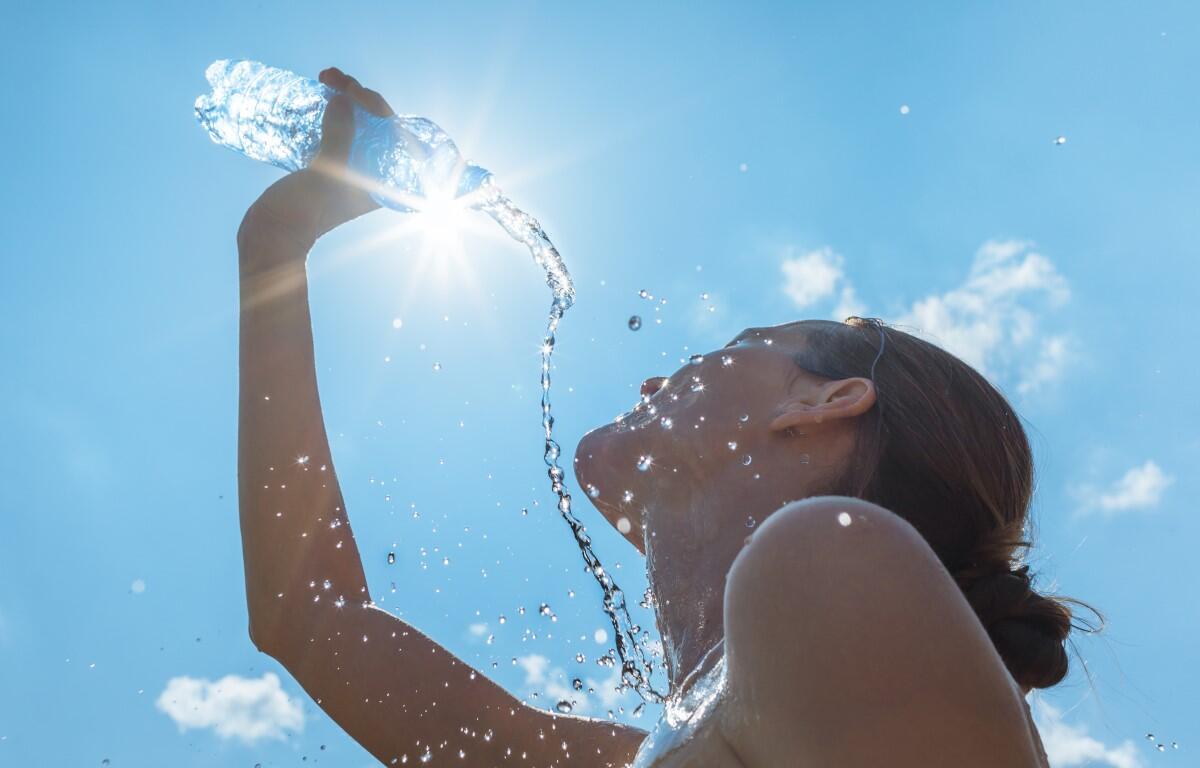
CLARKSVILLE, TN (CLARKSVILLE NOW) – Hot and humid weather will continue through the Independence Day weekend, with heat index values topping 100 degrees.
Scattered storms are possible each day through Monday, with the highest rain chances arriving Sunday and Monday, according to the National Weather Service.
Overnight lows will remain warm, only falling into the mid- to upper 70s, the NWS said. Some relief has become available in Clarksville with the opening of several cooling shelters.
Heat Warning in effect, then Advisory
The Extreme Heat Warning from the National Weather Service remains in effect through 8 p.m. Friday. That will be replaced with a Heat Advisory through 8 p.m. Saturday.
Thursday’s high reached 97 degrees at 2 p.m. at Clarksville Regional Airport, with a heat index of 110. That’s the highest point yet this year. Wednesday’s high was 97 with a 107 index. Tuesday and Monday were 94 with a 104 index. Sunday hit just under 92, with a 103 index.
| MORE: What’s a heat index? Your guide to summer heat warnings
Staying safe in the heat
“Heat related illnesses increase significantly during extreme heat and high humidity events. Hot temperatures and high humidity may cause heat illnesses,” the NWS said. “Drink plenty of fluids, stay in an air-conditioned room, stay out of the sun, and check on relatives and neighbors.
“Take extra precautions when outside. Wear lightweight and loose fitting clothing. Try to limit strenuous activities to early morning or evening. Take action when you see symptoms of heat exhaustion and heat stroke.”
Clarksville forecast
Here’s the day-by-day outlook.
Today: A 40% chance of showers and thunderstorms, mainly after 2 p.m. Sunny, with a high near 96. Heat index values as high as 111. Calm wind becoming north around 5 mph in the afternoon.
Tonight: A 30% chance of showers and thunderstorms before 8 p.m. Patchy fog after 5 a.m. Otherwise, partly cloudy, with a low around 74. East wind around 5 mph becoming calm.
Independence Day: A 30% chance of showers and thunderstorms, mainly after 4 p.m. Patchy fog before 7 a.m. Otherwise, mostly sunny, with a high near 95. Heat index values as high as 107. Calm wind becoming south southwest around 5 mph.
Saturday night: A chance of showers and thunderstorms before midnight, then a slight chance of showers and thunderstorms after 4 a.m. Patchy fog before 2 a.m., then patchy fog after 4 a.m. Otherwise, partly cloudy, with a low around 73. West wind around 5 mph becoming calm. Chance of precipitation is 50%.
Sunday: A chance of showers and thunderstorms, then showers likely and possibly a thunderstorm after 1 p.m. Areas of fog before 8 a.m. Otherwise, mostly sunny, with a high near 92. Calm wind becoming west southwest around 5 mph in the afternoon. Chance of precipitation is 70%.
Sunday night: A 40% chance of showers and thunderstorms. Patchy fog between 1 a.m. and 2 a.m. Otherwise, partly cloudy, with a low around 73. West southwest wind around 5 mph becoming calm.
Monday: A chance of showers and thunderstorms, then showers likely and possibly a thunderstorm after 1 p.m. Patchy fog before 8 a.m. Otherwise, mostly sunny, with a high near 91. Calm wind becoming west southwest around 5 mph in the afternoon. Chance of precipitation is 70%.
Monday night: A 40% chance of showers and thunderstorms, mainly after 1 a.m. Partly cloudy, with a low around 72. West wind around 5 mph becoming calm.
| WEATHER UPDATES: Click here for seven-day and hour-by-hour Clarksville weather forecasts