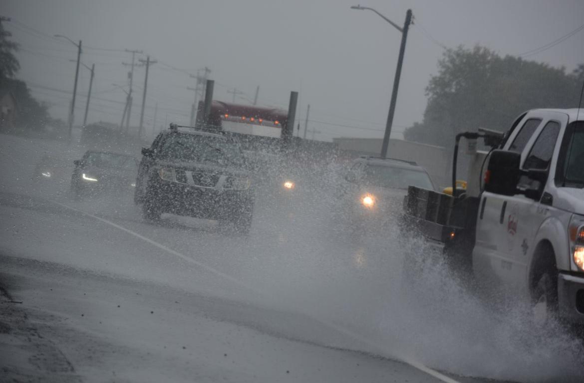

CLARKSVILLE, Tenn. (CLARKSVILLENOW) As we head into the weekend, more rain is in the forecast for Middle Tennessee and Western Kentucky.
Meteorologist Matt Reagan with the National Weather Service in Nashville said a wet weekend is what we can expect.
“More rain is expected to work itself into the forecast during the day Friday and that will linger into Friday night and Saturday,” Reagan said. “When it’s all said and done, we could be looking at another two inches of rainfall which could cause rises on area creeks and streams.”
As far as severe weather, Reagan said there is a slight chance of some severe thunderstorms around midday Saturday. He added there is a better chance that most of the storms will stay south of Middle Tennessee but a strong storm or two for the Clarksville area can’t be ruled out.
For Western Kentucky, Meteorologist Rick Shanklin with the National Weather Service in Paducah, Kentucky, said parts of Western Kentucky will get heavy rain with one to three inches likely Friday night into Saturday.
Severe thunderstorms could also cause problems in the northern areas of Western Kentucky Saturday morning into the early afternoon and outside of those storms, windy conditions with gusts of 40-50 mph are a possibility.
Shanklin added, “If the ground gets really saturated from this rain and we have those strong winds, even without thunderstorms, we could potentially see some of those more shallow-rooted trees being uprooted,” said Shanklin.
For more visit weather.gov/ohx/ or weather.gov/pah/.