
CLARKSVILLE, Tenn. (CLARKSVILLENOW) – Severe thunderstorms with damaging winds are possible in the Clarksville-Montgomery County area this week.
The best chance for severe storms is around Clarksville, Dover, and Erin and the primary threat is damaging straight-line winds Wednesday night. Wind gusts may be as high as 35 mph.
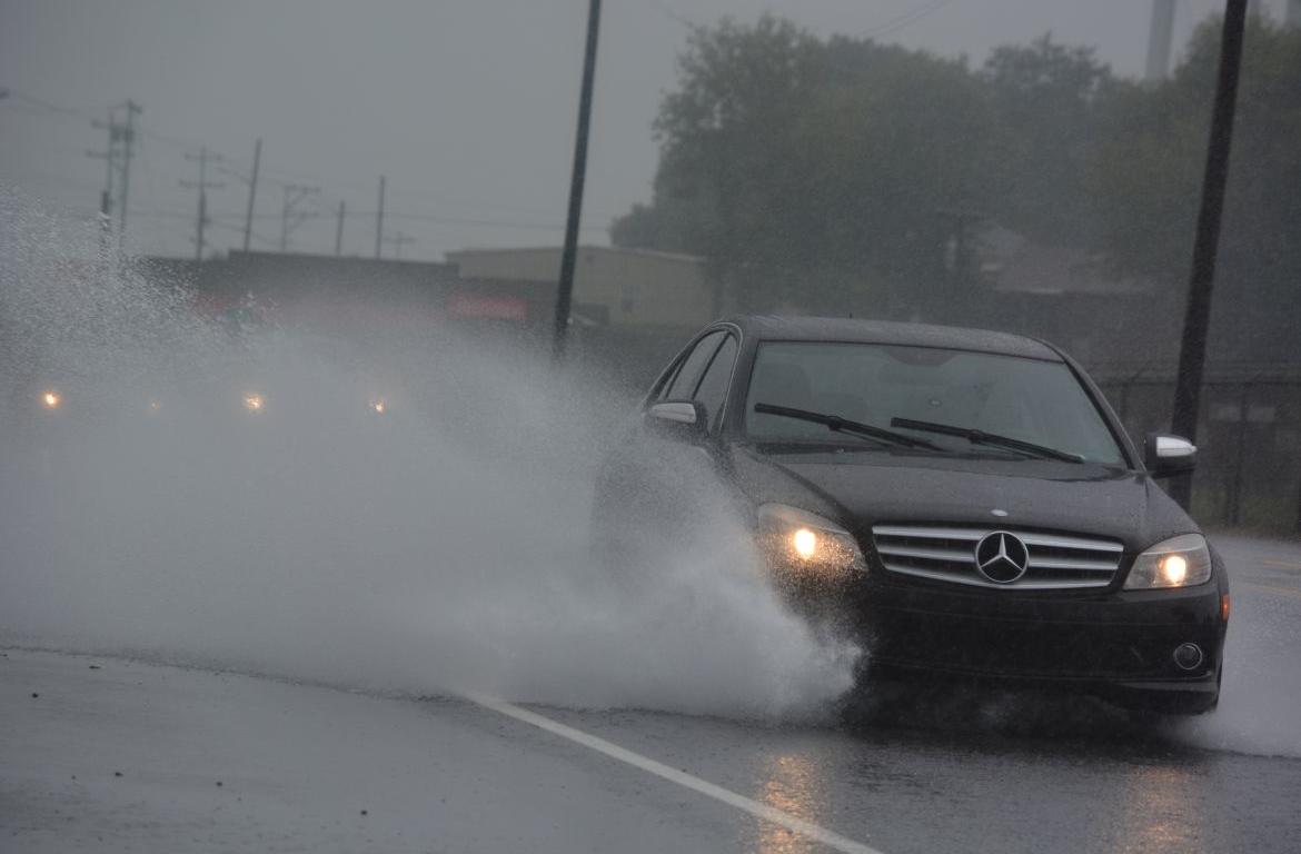
Rain and thunderstorms will become heavier and more widespread today and will last into Thursday evening before a strong cold front moves in.
RELATED: Emergency warming shelter opening in Clarksville ahead of cold front
Some flooding is possible, especially Thursday and Thursday evening. Thursday’s high of 74 will plummet down to 26 degrees overnight with a high of 37 on Friday followed by a low of 19 degrees.
For weather updates visit the ClarksvilleNow Weather page, follow us on Facebook and download the ClarksvilleNow app to receive severe weather alerts.


