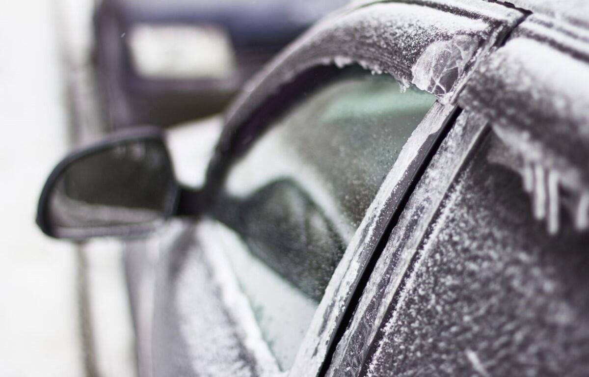

CLARKSVILLE, TN (CLARKSVILLE NOW) – A wintry mix arrives late Monday night with rain, sleet and light snow possible as temperatures drop, according to the National Weather Service.
Light accumulation is possible, and another round of freezing rain could move in late Thursday into Friday.
Clarksville forecast
Here’s the day-by-day outlook.
- Monday: A 30 percent chance of showers after 5 p.m. Increasing clouds, with a high near 44. East northeast wind around 5 mph becoming calm in the afternoon.
- Monday night: Rain showers before midnight, then rain showers possibly mixed with snow showers and sleet between midnight and 3 a.m., then rain and snow showers after 3 a.m. Low around 30. Calm wind becoming northwest around 5 mph after midnight. Chance of precipitation is 90%. New snow and sleet accumulation of less than a half inch possible.
- Tuesday: A slight chance of snow showers before 9 a.m., then a slight chance of rain showers between 9 a.m. and noon. Mostly cloudy, with a high near 36. North northwest wind 5 to 10 mph. Chance of precipitation is 20%.
- Tuesday night: Patchy fog after 11 p.m. Otherwise, partly cloudy, with a low around 20. Calm wind.
- Wednesday: Patchy fog before 9 a.m. Otherwise, sunny, with a high near 46. Calm wind becoming south around 5 mph.
- Wednesday night: Mostly cloudy, with a low around 29. Calm wind becoming west northwest around 5 mph after midnight.
- Thursday: Mostly cloudy, with a high near 37. North wind 5 to 10 mph.
- Thursday night: A chance of freezing rain after midnight. Mostly cloudy, with a low around 24. North northeast wind around 5 mph becoming calm in the evening. Chance of precipitation is 30%.
- Friday: Rain or freezing rain likely, becoming all rain after noon. Mostly cloudy, with a high near 42. Chance of precipitation is 60%.
- Friday night: A 40 percent chance of showers. Cloudy, with a low around 33.
| WEATHER UPDATES: Click here for seven-day and hour-by-hour Clarksville weather forecasts