
CLARKSVILLE, TN (CLARKSVILLE NOW) – Ready for another weather bounce? A chilly start to the week will give way to a rapid warmup by midweek, followed by another round of rain and thunderstorms.
Highs will climb from the mid-30s Monday into the 60s by Wednesday before showers move in late Wednesday night into Thursday, according to the National Weather Service
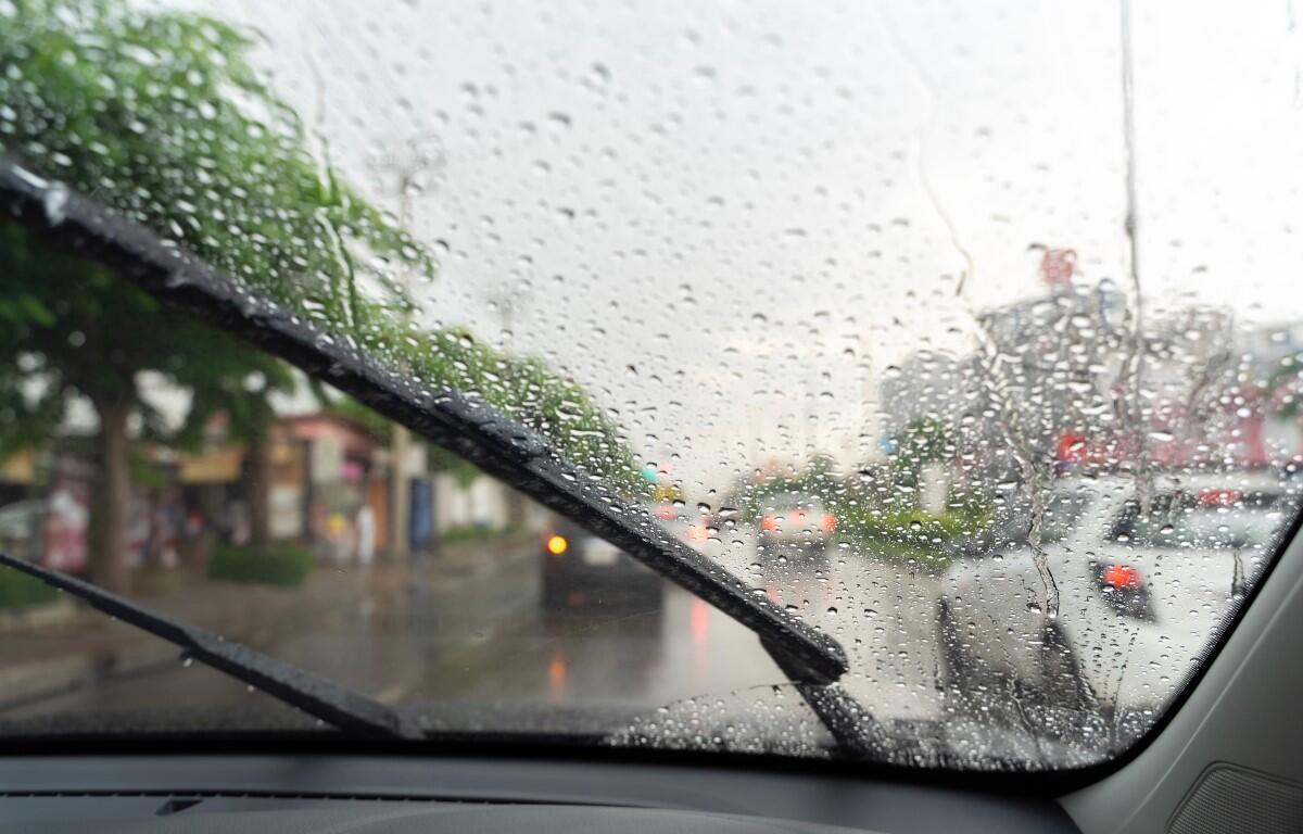
Clarksville forecast
Here’s the day-by-day outlook.
- Monday: Cloudy through midmorning, then gradual clearing, with a high near 35. Northwest wind 5 to 15 mph, with gusts as high as 20 mph.
- Monday night: Mostly clear, with a low around 18. Northwest wind around 5 mph becoming calm in the evening.
- Tuesday: Partly sunny, with a high near 50. Light south wind becoming south southwest 10 to 15 mph in the morning, with gusts as high as 25 mph.
- Tuesday night: Mostly cloudy, with a low around 40. Southwest wind 10 to 15 mph, with gusts as high as 25 mph.
- Wednesday: Partly sunny, with a high near 60. Southwest wind 5 to 10 mph.
- Wednesday night: A chance of showers, then showers and possibly a thunderstorm after midnight. Low around 47. South wind 5 to 10 mph, with gusts as high as 20 mph. Chance of precipitation is 80%.
- Thursday: Showers, mainly before noon. High near 58. South southwest wind around 10 mph becoming northwest in the afternoon, with gusts as high as 20 mph. Chance of precipitation is 80%.
- Thursday night: A 20 percent chance of showers before midnight. Partly cloudy, with a low around 30.
- Friday: Sunny, with a high near 57.
- Friday night: Mostly clear, with a low around 36.
| WEATHER UPDATES: Click here for seven-day and hour-by-hour Clarksville weather forecasts