
Updated with quotes from the meeting.
CLARKSVILLE, TN (CLARKSVILLE NOW) – In a tense meeting Thursday night with Woodstock neighborhood residents, City of Clarksville officials presented a plan to prevent the devastating floods that have ruined their homes multiple times over the years.
After an extensive study, the city – working in with professionals from Nashville-based Collier Engineering – has come up with a set of solutions for significantly enhanced flood protection in Woodstock, according to a news release from city spokesman Jimmy Settle.
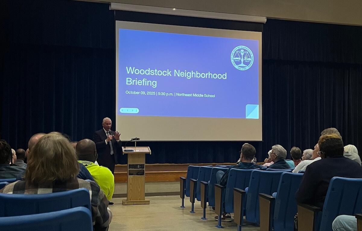
Mayor Joe Pitts and other city leaders shared the information in a community meeting at Northeast Middle School.
“We are very glad to confirm that we have a workable plan to share and implement, after what has been a lengthy process of determining the best solution for helping Woodstock residents who have been plagued by repeated flooding,” Pitts said in a news release following the meeting.
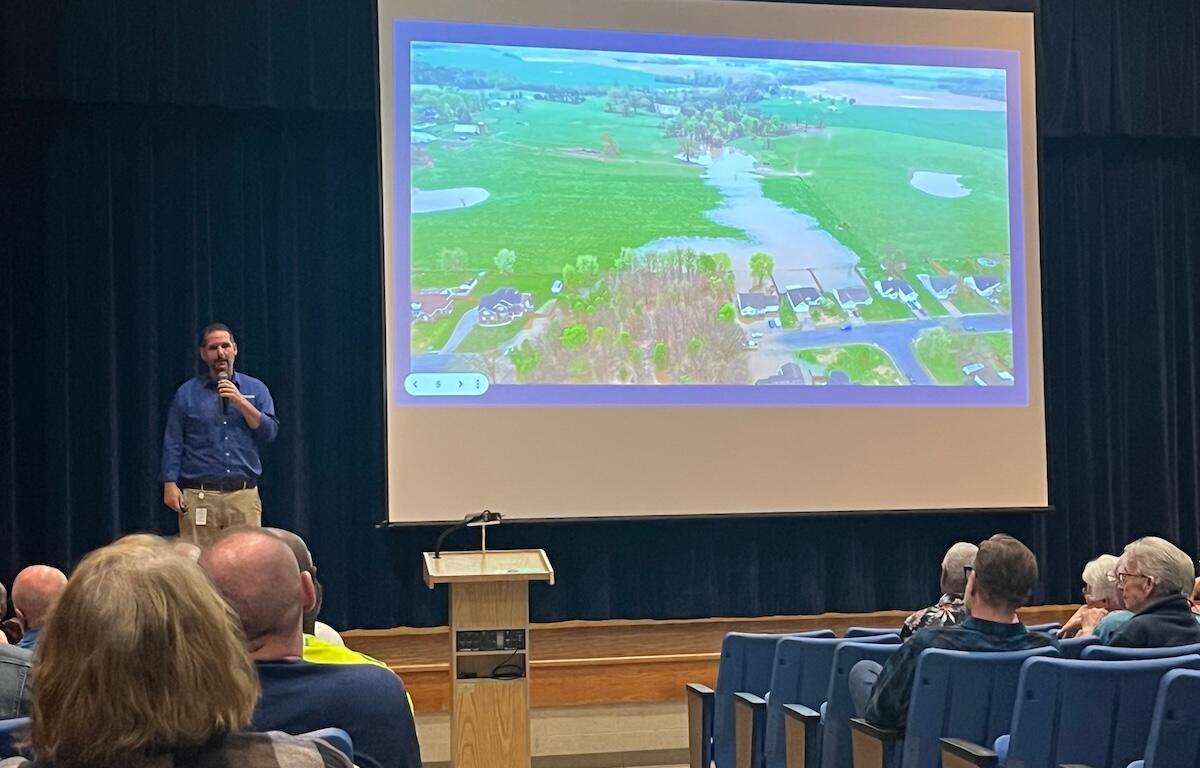
History of flooding in Woodstock
Woodstock Estates, a subdivision at the Kentucky state line just east of Trenton Road, has flooded four times since it was developed in the mid-1990s, despite being miles from the nearest lake or river.
The first flood was in May 2010, then a year later in 2011. The next floods were this year in February, and then in the week of April 6, Woodstock residents were once again wading through water to get to their homes.
| PREVIOUSLY: Woodstock flooding: How this all started and why big solution was never implemented
Pitts: Challenging topography, historic rainfall
“Our team studying this process has been confronted by a very complicated set of circumstances. The unique topographical and geological issues in and around this particular neighborhood are central to the challenge, and have required a meticulous engineering effort,” Pitts said in the news release.
“And, the specter of several months of historic rainfall in our community added to the urgency to take decisive action. Obviously, no one wants to see this problem repeated, ever again,” Pitts said.
| DON’T MISS A LOCAL STORY: Sign up for the free daily Clarksville Now email newsletter
“Ultimately, we’ve wanted to reach a solution that reflects the highest level of professional forethought and expertise, to help ensure that what we accomplish in Woodstock brings sustained, meaningful flood relief, and respects the interests of both the neighborhood and all city taxpayers. We want to get this right,” he said.
Why is Woodstock flooding?
The flooding problem in Woodstock is continuing for complicated reasons, according to the news release:
- An unknown network of karst features is in the area, which likely shares connectivity with a massive topographical depression just north of the Tennessee-Kentucky state line.
- The lowest point in the area encompasses 13 square miles of stormwater drainage in high-volume rainfall events, the preponderance of which is in Kentucky, outside the City of Clarksville’s scope of control.
- Tennessee Department of Environment & Conservation (TDEC) stormwater guidelines require Clarksville to take on the uphill water from Kentucky.
“By TDEC’s rules – the uphill rule as they call it – we can’t change the uphill stream of that water,” city Street Department Director David Smith explained to the audience. “We can’t bring that water and then reverse it somewhere else. We can do that with permits … and that’s what we’re waiting for.”
How will the city stop Woodstock flooding?
The best short-term solution, according to the city news release, is to create additional stormwater storage capacity within the Woodstock basin, which would create the ability to better-sustain the “storm surge” during heavy rains.
“Once we complete the excavation part of this project, we’re going to put that overflow in that allows water to automatically gravitate to the area it’s supposed to … to the west of Trenton Road,” Smith said.
“Substantial completion is expected within 100 days. … The target is definitely to have it done before the spring rains,” he said.
This is the first phase of the project developed by the city’s third-party engineers.
The next step is to relocate excess waters to an adjacent tributary that does not share the same basin watershed. This is the second phase of the project, and it involves pumping stormwater eastward, through an existing drainage easement along the state line, to a tributary that flows into Spring Creek. Spring Creek flows west into Big West Fork Creek, which flows south to the Red River, then the Cumberland River.


Next steps to solve Woodstock flooding
There are two key next steps in the process:
- Bids have been received by the City of Clarksville Street Department for the Woodstock stormwater management project, and a bid award is now pending.
- The City of Clarksville will continue to update Woodstock residents and the public through each step of implementation.
Following the meeting, several residents raised questions about the plan and the follow-through. Some expressed frustration and their desire to move.
Pitts told reporters he’s committed to solving the flooding issues in Woodstock.
“We have an option. We have a viable option,” he said. “You saw it tonight, and we’re committed to executing that option. And we believe that this will solve substantially most of the problem.
“You heard anxiety, I heard relief. I heard people who were relieved that we have finally got a plan that we’re going to execute, and we’re committed to doing that.”
Jazmin Logan contributed to this report.
| DOWNLOAD THE APP: Sign up for our free Clarksville Now app