
Update, 2:45 p.m.: Snow is expected Sunday night through Tuesday morning in Clarksville, with most of it falling during the day on Monday (MLK Jr. Day). But the NWS says it’s too early to say in what amounts and where the heaviest snow will fall.
For now, there’s 60% to 80% chance of 1 inch or more of snow, meaning we do expect accumulation. There’s a 20% to 40% chance that we’ll get 3 inches or more.
“Any accumulating snow will cause significant travel impacts,” the NWS said. “The snow, combined with the frigid temperatures, will make travel even more hazardous. Whatever snow falls will likely stay on the ground for several days as temperatures stay very cold.”
The NWS expects to be able to give more precise snowfall predictions on Saturday.
Previously:
CLARKSVILLE, TN (CLARKSVILLE NOW) – Frigid temperatures will begin Saturday night in Clarksville, and once temperatures fall below freezing, they will likely stay there until Thursday afternoon, according to the latest National Weather Service forecast.
High temperatures Sunday through Wednesday are expected to be mostly in the 20s with overnight lows in the teens to single digits, the NWS said. Lows in Clarksville could reach 15 Saturday night, 13 Sunday night, 9 Monday night, and 5 Tuesday night. Tuesday’s high may be only 18 degrees.
But it gets worse: Wind chills Monday and Tuesday nights will be below 0, the NWS said.
Chance of snow Sunday, Monday
We have a strong chance of snow, but it’s too early to predict whether that will be a dusting or something over 3 inches. “It is too soon to give specific snowfall forecasts for Sunday night through Monday, and forecasts will change,” the NWS said.
One NWS model shows a 60% to 80% chance for snow to cover the ground with less than 1 inch of accumulation. Another model shows a 30% to 50% chance for more than 3 inches in Montgomery and surrounding counties. “Travel impacts could be significant next week, but we should know a lot more by Saturday,” the NWS said.
NEWS ALERTS: To get free breaking news alerts on your phone, text the word NEWS to 43414.
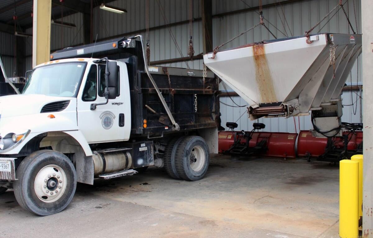
City of Clarksville Street Department Director David Smith said his department is prepared for any weather event, but advises caution should roadways become frozen over. “The challenge is the extreme cold, single-digit temperatures in the forecast that generally renders salt ineffective, or leads to re-freezing after some melting has already occurred. We can’t plow ice, only snow,” Smith said.
Smith said that the Street Department is well stocked with salt and brine, and that all trucks will be outfitted with salt boxes by Friday evening.
The Montgomery County Highway Department is also preparing for the possibility, readying their snow plows and salt trucks. “We ask you to limit your travels in the inclement weather,” they said. “In the event you need to go out, please do not crowd our snow plows! Snow plows travel much slower, may drive over the center line, and stir up clouds of snow, making it hard to see.”
Clarksville forecast
Here’s the day-by-day outlook.
- Saturday: Sunny, with a high near 40. West southwest wind 10 to 15 mph, with gusts as high as 25 mph.
- Saturday night: Partly cloudy, with a low around 16. West northwest wind around 10 mph.
- Sunday: Mostly sunny, with a high near 23. Northwest wind around 10 mph.
- Sunday night: A 50 percent chance of snow showers. Cloudy, with a low around 14. North wind 5 to 10 mph.
- M.L. King Day: A 40 percent chance of snow showers. Mostly cloudy, with a high near 23. North wind 5 to 10 mph.
- Monday night: A 30 percent chance of snow showers, mainly before midnight. Mostly cloudy, with a low around 9. North northwest wind 10 to 15 mph, with gusts as high as 20 mph.
- Tuesday: Partly sunny, with a high near 16. Northwest wind 10 to 15 mph, with gusts as high as 20 mph.
- Tuesday night: Partly cloudy, with a low around 5.
- Wednesday: Sunny, with a high near 28.
- Wednesday night: Partly cloudy, with a low around 19.
- Thursday: A 20 percent chance of snow showers. Partly sunny, with a high near 36.
WEATHER ALERTS: For local severe weather alerts and updates, tune in to radio stations Beaver 100.3, Q108, Z97.5, Rewind 94.3 or The Patriot 105.5.
Power outage tips
Freezing weather always brings a risk of power outages. CDE Lightband offers the following tips in the event of outages:
- Have plenty of batteries and flashlights on hand.
- Charge all your electronic devices.
- Have multiple ways to get storm updates like downloading weather apps on your smartphone.
- Stay updated by viewing the outage map and/or report outages at CDELightband.com, call 931-648-8151 or text OUT to 85700.
- Please do not report outages via social media as CDE Lightband’s pages are not connected to the outage management system.
- If there are downed power lines, please be mindful they could be energized and dangerous. Stay away and immediately call 911 and CDE Lightband.
WEATHER UPDATES: Click here for seven-day and hour-by-hour Clarksville weather forecasts