
Update, 1:50 p.m.: While the heaviest snowfall is expected to be south of Clarksville, there is a 30% chance that we’ll see more than 3 inches of snow, according to the NWS.
We’re more likely to get 2 to 3 inches, in a snowfall that will start this afternoon and continue through Monday night into early Tuesday morning. The heaviest snowfall should come tonight and Monday.
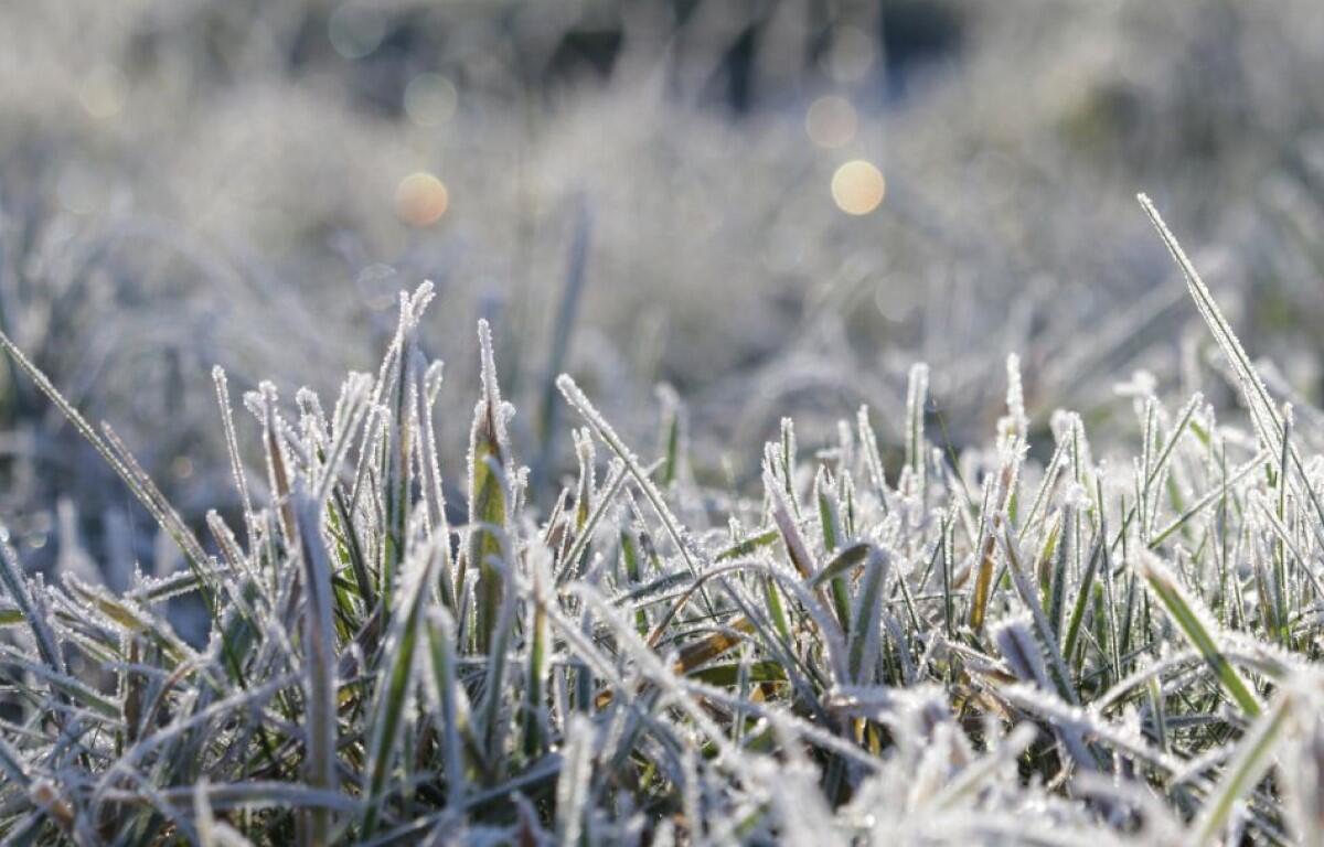
“With the long duration of below freezing temperatures, snow will be very slow to melt. Sunshine on Wednesday will help melt snow,” the NWS said.

Previously:
CLARKSVILLE, TN (CLARKSVILLE NOW) – With up to 3 inches of snow expected and temperatures in the teens to single-digits, a Winter Storm Warning has been issued for Montgomery and surrounding counties from 6 p.m. tonight through 6 a.m. Tuesday.
At 8 a.m. Sunday in Clarksville, the temperature was 15 degrees, with a Wind Chill of 1 degree. Lows in Clarksville could reach 12 Sunday night, 9 Monday night, and 4 Tuesday night, according to the latest National Weather Service forecast.
NEWS ALERTS: To get free breaking news alerts on your phone, text the word NEWS to 43414.
Snow is expected to begin this evening and could continue all day Monday.
“Travel could be very difficult,” the NWS warning said. “The hazardous conditions could impact the morning or evening commute. The cold wind chills as low as 5 below zero could result in hypothermia if precautions are not taken If you must travel, keep an extra flashlight, food, and water in your vehicle in case of an emergency.”
LIVE VIDEO: Click here to check conditions on Clarksville traffic cameras
The City of Clarksville Street Department and Montgomery County Highway Department have been preparing for the event, readying their snow plows and salt trucks. But single-digit temperatures may make salt and brine ineffective on icy roads.
Clarksville forecast
Here’s the day-by-day outlook, which shows a return of single-digit lows next weekend.
- Today: A 20 percent chance of snow showers after 4pm. Increasing clouds, with a high near 20. Wind chill values as low as zero. Northwest wind 5 to 10 mph.
- Tonight: Snow showers likely, mainly after 9pm. Cloudy, with a low around 12. North wind around 5 mph. Chance of precipitation is 60%. New snow accumulation of around an inch possible.
- M.L. King Day: Snow showers likely. Mostly cloudy, with a high near 19. North wind around 5 mph. Chance of precipitation is 70%. New snow accumulation of around an inch possible.
- Monday night: A 50 percent chance of snow showers, mainly before midnight. Mostly cloudy, with a low around 9. Wind chill values as low as -3. North wind 5 to 10 mph.
- Tuesday: Mostly sunny, with a high near 20. North northwest wind around 10 mph.
- Tuesday night: Mostly clear, with a low around 4. West northwest wind 5 to 10 mph becoming southwest after midnight.
- Wednesday: Sunny, with a high near 31. Southwest wind 5 to 10 mph.
- Wednesday night: Partly cloudy, with a low around 19. South wind around 10 mph.
- Thursday: A chance of rain and snow showers after noon. Mostly cloudy, with a high near 39. South southwest wind around 10 mph. Chance of precipitation is 30%.
- Thursday night: A chance of rain and snow showers before midnight, then a chance of snow showers. Mostly cloudy, with a low around 21. Chance of precipitation is 40%.
- Friday: A 20 percent chance of snow showers. Partly sunny, with a high near 27.
- Friday night: Partly cloudy, with a low around 8.
- Saturday: Mostly sunny, with a high near 22.
WEATHER ALERTS: For local severe weather alerts and updates, tune in to radio stations Beaver 100.3, Q108, Z97.5, Rewind 94.3 or The Patriot 105.5.