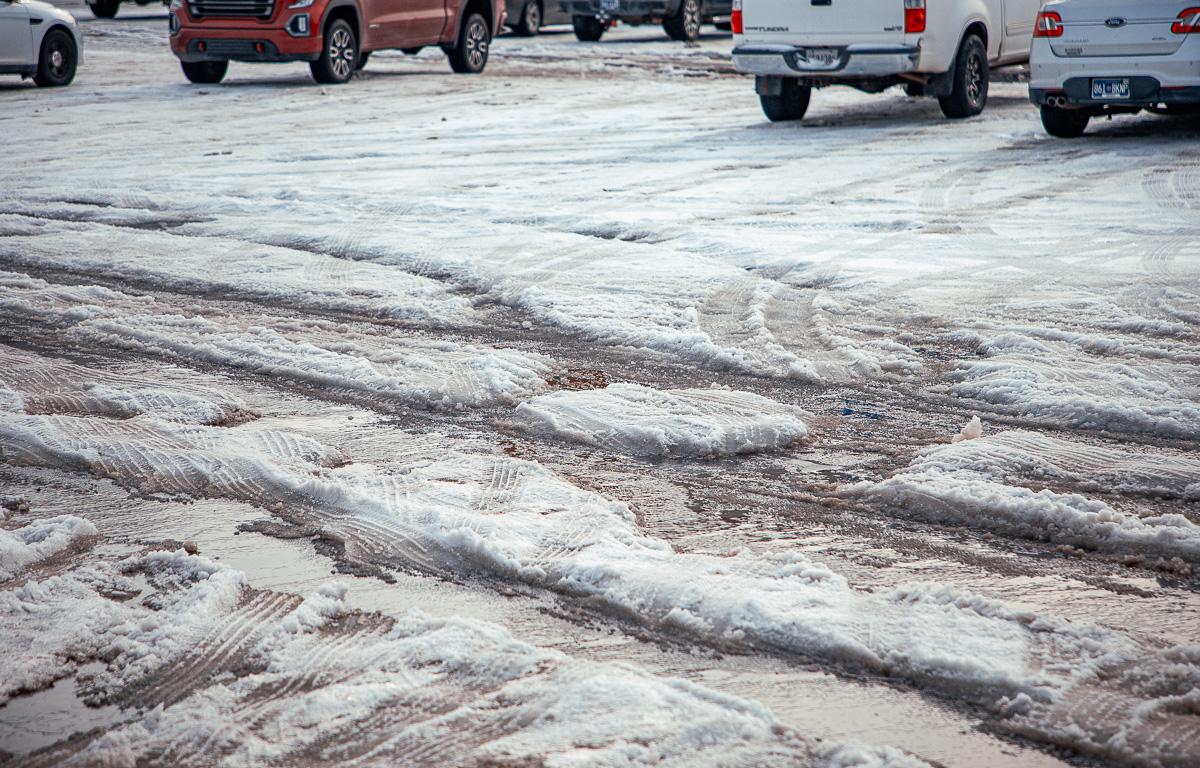

CLARKSVILLE, TN (CLARKSVILLE NOW) – With CMCSS remaining closed on Monday due to 2-3 inches of packed ice on sidewalks and parking lots, the big question for Clarksville is this: When will it melt?
There could be relief starting Monday afternoon, with a high in the mid-40s. The low goes back down below freezing Monday night, but Tuesday brings another high in the mid-40s, along with rain, according to the National Weather Service.
Highs will stay above freezing, with lows below freezing, for the rest of the week. Add just enough sun and salt, and the “lasagna” pack ought to at least soften.
| MORE: For road conditions, click here for live Clarksville traffic cameras
Clarksville forecast
Here’s the day-by-day outlook.
- Sunday: Partly sunny with a high near 31. Calm wind becoming west-northwest around 5 mph.
- Sunday night: Mostly cloudy with a low around 20. Calm wind becoming south around 5 mph.
- Monday: Mostly sunny with a high near 43. South wind around 5 mph becoming west in the afternoon.
- Monday night: Mostly cloudy with a low around 28. Calm wind becoming south-southeast around 5 mph.
- Tuesday: Showers likely, mainly after noon. Cloudy with a high near 46. South-southeast wind around 5 mph becoming northwest in the afternoon. Chance of precipitation is 60%.
- Tuesday night: A 20% chance of showers before midnight. Cloudy with a low around 28. North-northwest wind around 5 mph.
- Wednesday: Mostly cloudy with a high near 35. North wind 5 to 10 mph.
- Wednesday night: Mostly cloudy with a low around 17. North wind around 5 mph.
- Thursday: Mostly sunny with a high near 37. North wind around 5 mph becoming west-southwest in the afternoon.
- Thursday night: Partly cloudy with a low around 26.
- Friday: Sunny with a high near 50.
- Friday night: Mostly cloudy with a low around 24.
MORE:
- Crews make progress on county roads covered in 2 inches of ice
- 9,000 tons of salt, 5,000 man hours: Ice/snow removal by the numbers
- Where to get warm, get help during ice storm in Clarksville
- Inside Clarksville Jeep Crew’s over 275 assists | PODCAST
- 7 most dangerous roads for winter weather wrecks
- Winter weather: How to handle ice and snow in Clarksville
| DOWNLOAD THE APP: Sign up for our free Clarksville Now app