
CLARKSVILLE, TN (CLARKSVILLE NOW) – We will enjoy a warm, breezy start to the weekend before a round of storms and a strong cold front bring a drop in temperatures by Sunday.
According to the National Weather Service, highs will climb into the mid-80s Saturday before rain and thunderstorms move in overnight. By Sunday, cooler air will settle into the region, with highs only reaching the upper 60s and lows dropping into the low 40s by Sunday night.
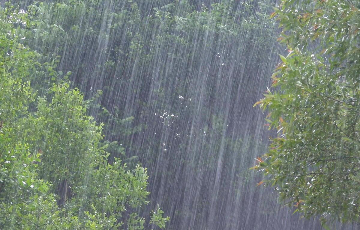
Clarksville forecast
Here’s the day-by-day outlook:
- Friday: Partly sunny, with a high near 82. East wind around 5 mph becoming south in the afternoon.
- Friday night: Partly cloudy, with a low around 61. Calm wind becoming south around 5 mph after midnight.
- Saturday: A 20% chance of showers and thunderstorms in the afternoon. Mostly sunny, with a high near 86. South southwest wind 10 to 15 mph, with gusts as high as 25 mph.
- Saturday night: Showers and possibly a thunderstorm. Low around 58. South wind 10 to 15 mph, with gusts up to 25 mph. Chance of rain 90%.
- Sunday: A 30% chance of showers before 1 p.m. Mostly sunny, with a high near 69. West northwest wind around 15 mph, gusting up to 25 mph.
- Sunday night: Clear, with a low around 41. West northwest wind around 5 mph becoming calm in the evening.
| WEATHER UPDATES: Click here for seven-day and hour-by-hour Clarksville weather forecasts