
Update, 8:33 a.m.: The Severe Thunderstorm Watch has been extended until 11 a.m. A Watch means that conditions are right for a severe thunderstorm to form. If one is indicated on radar, a Warning will be issued.
| MORE: Storms tonight bring risk of tornadoes, large hail in Clarksville
Update, 7:30 a.m.: A Severe Thunderstorm Watch was issued for Clarksville-Montgomery County at 2:25 a.m., and it is expected to continue until 9 a.m. Friday morning.
Previously
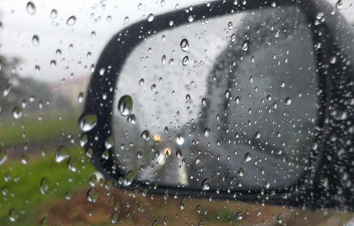
CLARKSVILLE, TN (CLARKSVILLE NOW) – We’ll have rain off and on this weekend, likely with a break on Saturday.
There’s a 60% chance of rain Friday morning, then a 90% chance Friday night, according to the National Weather Service. Saturday should be clear and sunny, with a chance of rain returning – at 40% – on Sunday.
Clarksville forecast
Here’s the day-by-day outlook:
- Friday: Showers and thunderstorms likely, mainly before 11am. Partly sunny, with a high near 87. South southwest wind 5 to 15 mph, with gusts as high as 25 mph. Chance of precipitation is 60%. New rainfall amounts between a quarter and half of an inch possible.
- Friday night: Showers and thunderstorms before 4am, then a chance of showers. Some of the storms could produce heavy rainfall. Low around 66. Southwest wind 10 to 15 mph, with gusts as high as 20 mph. Chance of precipitation is 90%.
- Saturday: Sunny, with a high near 83. West wind 10 to 15 mph, with gusts as high as 20 mph.
- Saturday night: A 20 percent chance of showers after 1am. Mostly cloudy, with a low around 62. West wind around 5 mph becoming calm in the evening.
- Sunday: A chance of showers, with thunderstorms also possible after 1pm. Partly sunny, with a high near 81. Calm wind becoming south around 5 mph. Chance of precipitation is 40%.
- Sunday night: A 40 percent chance of showers and thunderstorms, mainly after 1am. Mostly cloudy, with a low around 66. Calm wind.
| WEATHER UPDATES: Click here for seven-day and hour-by-hour Clarksville weather forecasts