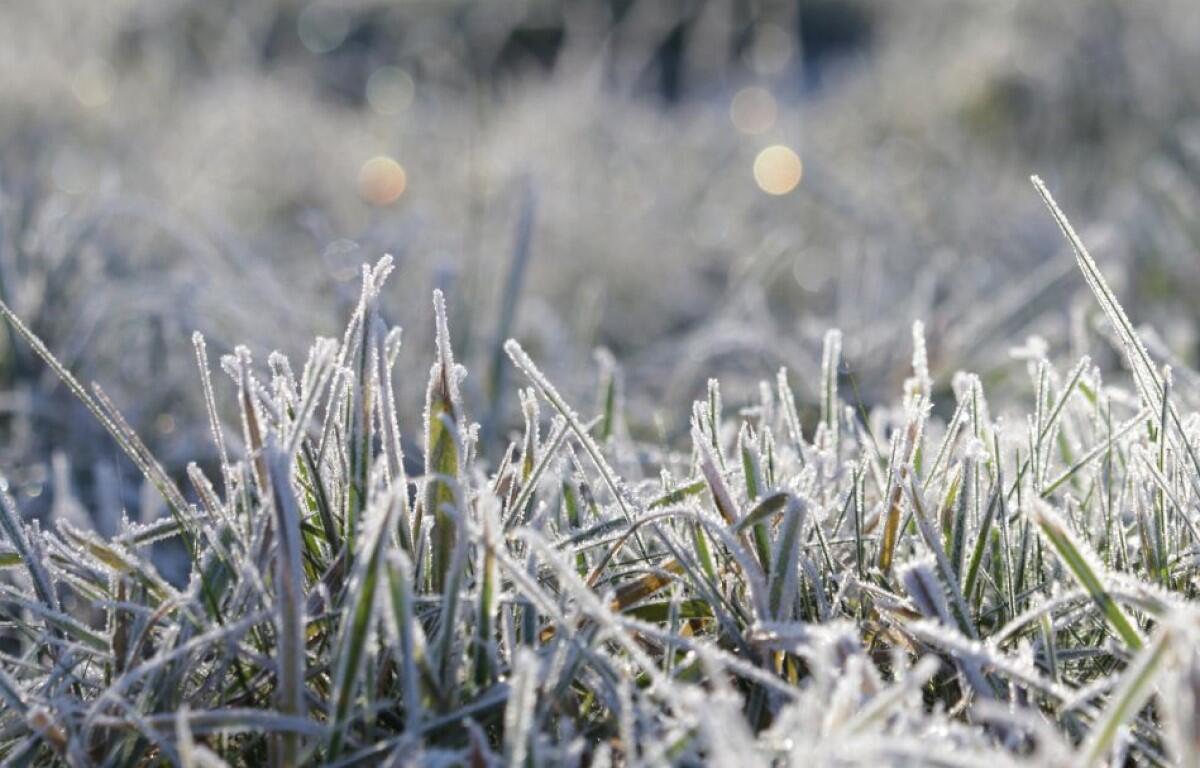

CLARKSVILLE, TN (CLARKSVILLE NOW) – A stretch of colder winter weather is expected through the weekend and into early next week, with occasional chances for light precipitation, according to the National Weather Service. Temperatures will trend below normal, with highs mostly in the 30s and 40s and overnight lows dipping into the teens.
Spotty sprinkles, flurries and light rain are possible Friday and Saturday, but no significant accumulation is expected. Sunshine returns Sunday, though cold air remains firmly in place through Martin Luther King Jr. Day.
Clarksville forecast
Here’s the day-by-day outlook.
- Friday: A chance of sprinkles and flurries before 1 p.m., then a chance of rain showers after 3 p.m. Increasing clouds, with a high near 48. West southwest wind 10 to 15 mph, with gusts as high as 25 mph. Chance of precipitation is 30%.
- Friday night: A 30% chance of showers, mainly before 9 p.m. Cloudy, then gradually becoming partly cloudy, with a low around 30. West southwest wind around 5 mph.
- Saturday: A chance of sprinkles and flurries between noon and 4 p.m., then a chance of rain and snow showers after 4 p.m. Partly sunny, with a high near 38. West wind 5 to 15 mph, with gusts as high as 20 mph. Chance of precipitation is 20%.
- Saturday night: Partly cloudy, with a low around 16. Northwest wind around 5 mph.
- Sunday: Sunny, with a high near 31. Northwest wind 5 to 10 mph becoming southwest in the afternoon.
- Sunday night: Mostly clear, with a low around 20. Southwest wind 5 to 10 mph.
- Martin Luther King Jr. Day: Mostly sunny, with a high near 32. Northwest wind 10 to 15 mph, with gusts as high as 20 mph.
- Monday night: Mostly clear, with a low around 10. Northwest wind around 5 mph becoming calm in the evening.
| WEATHER UPDATES: Click here for seven-day and hour-by-hour Clarksville weather forecasts