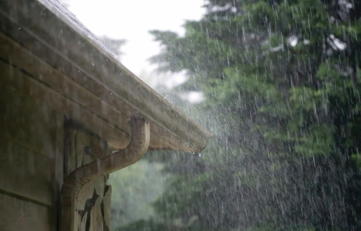

CLARKSVILLE, TN (CLARKSVILLE NOW) – Heavy rain and a few thunderstorms will move through early Friday before skies gradually clear over the weekend, according to the National Weather Service.
Temperatures will fall from the low 70s Friday into the low 40s by Saturday night, with fog possible both late Saturday and early Sunday.
Clarksville forecast
Here’s the day-by-day outlook.
- Friday: Showers likely and possibly a thunderstorm before 9am, then a chance of showers and thunderstorms between 9am and 3pm, then a chance of showers after 3pm. Patchy fog before 8am. Otherwise, mostly cloudy, with a high near 72. South southwest wind 5 to 10 mph. Chance of precipitation is 70%. New rainfall amounts between a tenth and quarter of an inch, except higher amounts possible in thunderstorms.
- Friday night: Showers and possibly a thunderstorm before midnight, then a chance of showers and thunderstorms between midnight and 3am, then a chance of showers after 3am. Low around 57. South southwest wind around 5 mph becoming west northwest after midnight. Chance of precipitation is 90%.
- Saturday: A 20 percent chance of showers before noon. Mostly cloudy, with a high near 65. North northwest wind 5 to 10 mph.
- Saturday night: Patchy fog after 11pm. Otherwise, partly cloudy, with a low around 42. North wind around 5 mph becoming calm.
- Sunday: Areas of fog before 9am. Otherwise, mostly sunny, with a high near 65. Calm wind becoming north northeast around 5 mph.
- Sunday night: A 20 percent chance of showers after midnight. Mostly cloudy, with a low around 44. Calm wind becoming east southeast around 5 mph.
| WEATHER UPDATES: Click here for seven-day and hour-by-hour Clarksville weather forecasts