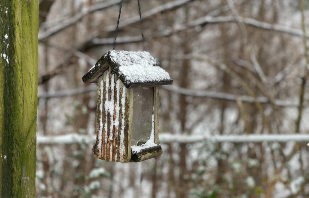

Update, 2:30 p.m.: A Winter Weather Advisory has been issued for Montgomery and surrounding counties from 6 p.m. Friday until 6 a.m. Saturday.
Snow is expected, with total snow accumulations of 1 to 3 inches, and winds gusting as high as 35 mph, according to the National Weather Service.
“Warm surface temperatures may prevent accumulations on some roadways Friday evening, but cold temps will allow for slick spots on areas where snow has not accumulated,” the NWS advisory said. “Use extreme caution when driving Friday night and Saturday morning.”

Previously:
CLARKSVILLE, TN (CLARKSVILLE NOW) – We could get 1 to 2 inches of snow accumulation in Clarksville Friday night ahead of a cold front that will cut our temperatures in half.
The cold front should move in Friday night, turning rain into snow after midnight, according to the National Weather Service.
After a high on Friday in the 60s, the high will drop on Saturday to the 30s, with the low Saturday night only 15 degrees.
Clarksville forecast
Here’s the day-by-day outlook.
Tonight: Mostly clear. Lows in the mid 30s. Northeast winds around 5 mph.
Friday: Sunny in the morning, then partly sunny with a slight chance of showers in the afternoon. Highs in the lower 60s. Southeast winds around 5 mph, increasing to northwest 10 to 15 mph in the afternoon. Chance of rain 20 percent.
Friday Night: Rain or snow in the evening, then snow likely after midnight. Moderate snow accumulation. Cold with lows around 20. North winds 15 to 20 mph with gusts up to 30 mph. Chance of precipitation near 100 percent.
Saturday: Mostly cloudy. Much cooler with highs in the lower 30s. Northwest winds 15 to 20 mph with gusts up to 30 mph.
Saturday Night: Mostly clear. Cold with lows 15 to 20.
Sunday: Sunny. Not as cool with highs in the lower 50s.
Sunday Night: Mostly clear in the evening, then becoming partly cloudy. Lows in the mid 30s.