
Update, 9:30 p.m.: An Ice Storm Warning has been issued for Montgomery County from 3 p.m. Thursday through 1 a.m. Friday. The warning also includes Stewart, Houston and Humphreys counties.
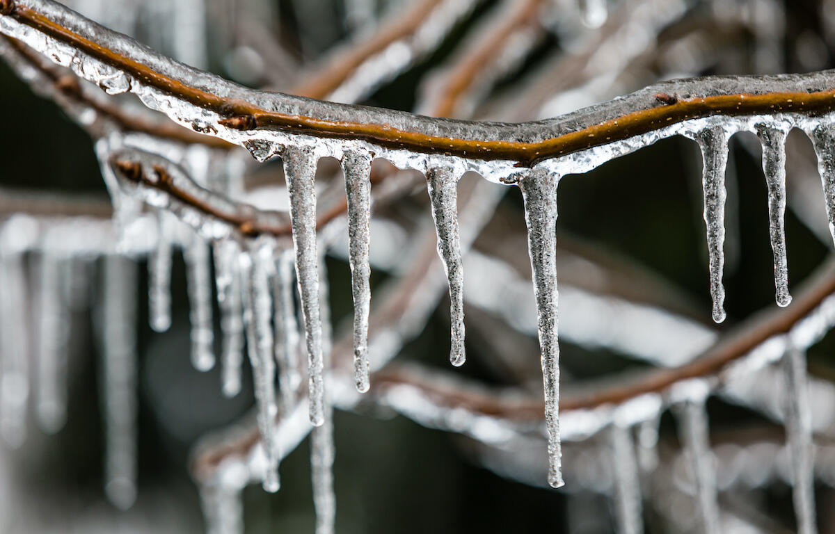
Significant icing is expected, according to the National Weather Service, with ice accumulation of between 0.25 inches and 0.40 inches. Total sleet and snow accumulations of up to one-half inch are expected. This is an increase from the forecast earlier today.
“Plan on icy road conditions and possible power outages. The hazardous conditions could impact the evening commute,” the warning said.
“Travel is strongly discouraged. If you must travel, keep an extra flashlight, food and water in your vehicle in case of an emergency. Prepare for possible power outages.”
Update, 3:10 p.m.: A Winter Weather Advisory has been issued from 3 p.m. Thursday until 1 a.m. Friday for Montgomery County. The advisory also includes Stewart, Houston and Humphreys counties.
“Plan on icy road conditions,” the NWS advisory said. “The hazardous conditions could impact the evening commute. Gusty winds could exacerbate any icing issues. Slow down and use caution while traveling.”

Previously:
CLARKSVILLE, TN (CLARKSVILLE NOW) – Heavy rains today and Thursday will transition to freezing rain in Montgomery County Thursday night.
“While just about everyone in Middle Tennessee runs the risk of at least a light glazing, those areas northwest of the Nashville Metro area, including but limited to, Land Between the Lakes, Waverly and Clarksville, all run the risk of up to a quarter of inch of ice accumulation between 6 p.m. and midnight tomorrow night,” the National Weather Service said this morning.
What would a quarter inch of inch of ice do to Clarksville? Travel would be extremely hazardous, if not impossible, and power outages would be likely, the NWS said.
“This has the potential to be a high impact event,” the NWS said.
Residents are advised to make the necessary preparations for power outages and dangerous driving conditions.
For local severe weather alerts and updates, tune in to radio stations Beaver 100.3, Q108, Z97.5, Rewind 94.3 or NewZee 105.5.
Clarksville forecast
Here’s the day-by-day outlook.
Today: Rain in the morning, then a chance of rain in the afternoon. Highs in the mid 50s. South winds 15 to 20 mph. Chance of rain near 100 percent.
Tonight: Rain. Lows in the mid 30s. West winds 5 to 15 mph shifting to the north 5 to 10 mph after midnight. Chance of rain 90 percent.
Thursday: Rain possibly mixed with freezing rain. Ice accumulation of up to one tenth to one quarter of an inch. Highs in the upper 30s. North winds 10 to 20 mph. Chance of precipitation near 100 percent.
Thursday Night: Cloudy. Light freezing rain likely in the evening, then a slight chance of light snow possibly mixed with freezing rain after midnight. Lows in the lower 20s. North winds 10 to 20 mph. Chance of precipitation 70 percent.
Friday: Mostly cloudy in the morning then becoming partly cloudy. Highs in the lower 30s. North winds 10 to 15 mph.