
Update, 11 a.m.: Showers and storms are possible for the rest of the day, continuing into Saturday and Sunday.
Previously:
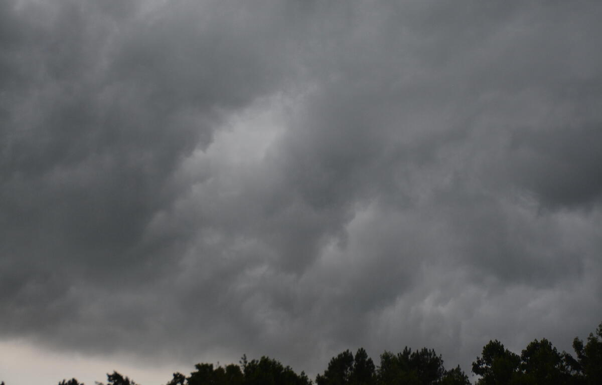
CLARKSVILLE, TN (CLARKSVILLE NOW) – A strong thunderstorm will roll over parts of Montgomery County through 9:30 a.m.
At 8:57 a.m., Doppler radar was tracking a strong thunderstorm over Clarksville, moving northeast at 40 mph with potential 40 mph wind gusts, according to the National Weather Service.
“Gusty winds could knock down tree limbs and blow around unsecured objects,” the NWS said. “If outdoors, consider seeking shelter inside a building.”
Clarksville forecast
Here’s the day-by-day outlook:
- Friday: Showers and thunderstorms before 3pm, then showers and possibly a thunderstorm between 3pm and 4pm, then a chance of showers and thunderstorms after 4pm. High near 83. South wind 5 to 10 mph. Chance of precipitation is 90%. New rainfall amounts between a quarter and half of an inch possible.
- Friday night: Showers and thunderstorms likely, mainly before 10pm. Mostly cloudy, with a low around 70. South wind around 5 mph. Chance of precipitation is 60%. New rainfall amounts between a tenth and quarter of an inch, except higher amounts possible in thunderstorms.
- Saturday: A chance of showers and thunderstorms, then showers and possibly a thunderstorm after noon. High near 82. Southwest wind 5 to 10 mph. Chance of precipitation is 90%. New rainfall amounts between a tenth and quarter of an inch, except higher amounts possible in thunderstorms.
- Saturday night: A 30 percent chance of showers and thunderstorms before 1am. Mostly cloudy, with a low around 70. Southwest wind around 5 mph becoming calm in the evening.
- Sunday: A 50 percent chance of showers and thunderstorms. Partly sunny, with a high near 85. West southwest wind around 5 mph.
Sunday Night: Mostly cloudy, with a low around 70. West wind around 5 mph becoming calm.
| WEATHER UPDATES: Click here for seven-day and hour-by-hour Clarksville weather forecasts