
Update, 8:55 a.m.: CDE Lightband outages are down to 122. CEMC outages are down to 480.
Update, 5:25 a.m.: About 1,500 CDE Lightband customers are without power.
About 1,200 Cumberland Electric Membership Corp. customers in Montgomery County are without power.
The Severe Thunderstorm Warning has been canceled early for Robertson, Cheatham and Dickson counties.
STORM PHOTOS: If you’ve had storm damage, you can share a photo by email to news@clarksvillenow.com.
Update, 5:15 a.m.: A new Severe Thunderstorm Warning has been issued for Montgomery County, through 5:45 a.m.
The warning area covers Davidson, northeastern Dickson, Sumner, northwestern Wilson, Cheatham, Robertson counties.
At 5:08 a.m., severe thunderstorms were located along a line extending from Cross Plains to Joelton to White Bluff, moving east at 55 mph, according to the NWS.
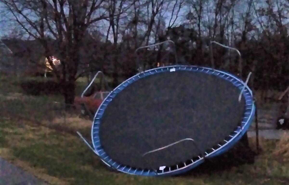
There’s a risk of 60 mph wind gusts. Expect damage to roofs, siding, and trees.
Update, 5:10 a.m.: The Severe Thunderstorm Warning has been canceled early for Montgomery County.
Update, 5 a.m.: A Tornado Warning was briefly issued for northeastern Montgomery County. It was canceled a few minutes later.
At 4:51 a.m., a severe thunderstorm capable of producing a tornado was located near Guthrie, or 13 miles east of Clarksville, moving
east at 50 mph.
A Severe Thunderstorm Warning is in effect for the area through 5:30 a.m., affecting Montgomery, Robertson, Houston, Dickson, and Cheatham Counties.
In Kentucky, Logan County is under a Tornado Warning until 5:15 a.m.
Update, 8:55 p.m.: A Severe Thunderstorm Watch has been issued for Montgomery and Stewart Counties through 4 a.m.
A watch means that conditions are right for a severe thunderstorm to develop.
LIVE UPDATES: For local severe weather alerts and updates, tune in to radio stations Beaver 100.3, Q108, Z97.5, Rewind 94.3 or NewZee 105.5.
Previously:
CLARKSVILLE, TN (CLARKSVILLE NOW) – We could see strong to severe storms in two waves, one this afternoon and another overnight, ahead of a stormy Monday morning.
Damaging wind is the main threat from this storm, according to the National Weather Service. Minor flooding may also occur.

The chance of rain is 100 percent, dropping to 70 percent on Monday.

Clarksville forecast
Here’s the day-by-day outlook.
Tonight: Chance of showers and thunderstorms in the evening, then showers and thunderstorms after midnight. Locally heavy rainfall possible after midnight. Lows around 50. Southwest winds 15 to 20 mph. Chance of precipitation near 100 percent.
Monday: Cloudy with showers and thunderstorms likely in the morning, then mostly sunny in the afternoon. Highs around 50. Temperatures falling into the 30s in the afternoon. Northwest winds 10 to 20 mph. Chance of precipitation 70 percent.
Monday night: Colder. Mostly clear. Lows in the mid 20s. North winds 5 to 10 mph.
Tuesday: Partly cloudy. Highs in the lower 40s. Northeast winds 5 to 10 mph.
Tuesday night: Mostly cloudy. A 20 percent chance of rain showers and snow showers after midnight. Lows in the upper 20s. Northeast winds up to 5 mph.
Wednesday: Mostly cloudy in the morning then clearing. Highs in the upper 40s.
Wednesday night: Mostly clear. Lows around 30.
Thursday: Partly cloudy. Highs in the upper 50s.
Thursday night: Warmer. Mostly cloudy with a 30 percent chance of showers. Lows around 50.
Friday: Mostly cloudy with a 50 percent chance of showers. Highs in the upper 60s.
Friday night: Mostly cloudy. Chance of showers in the evening, then showers likely and chance of thunderstorms after midnight. Lows in the lower 50s. Chance of precipitation 60 percent.