
Update, 5:30 p.m.: Temperatures are currently near or below freezing in parts of Montgomery and surrounding counties, and as rain spreads into these counties tonight, the rain may mix with sleet or freezing rain, according to the National Weather Service.
“However, with warm ground temperatures, little or no ice accumulation is expected, although a light glaze of ice on elevated surfaces is possible. Temperatures are forecast to rise above freezing overnight, ending the potential for any wintry mix,” the NWS said.
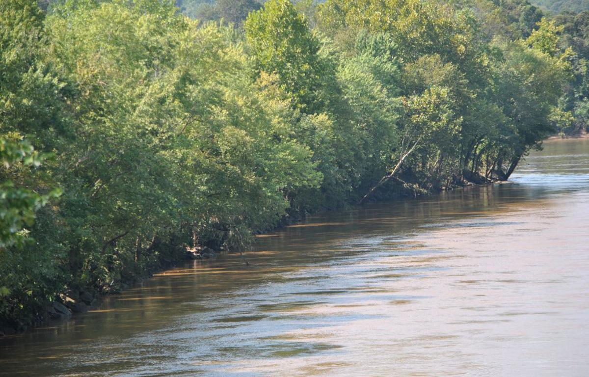
Update, 1 p.m.: The Flood Watch for the Red River in Clarksville has been upgraded to a Flood Warning from Thursday night to Saturday morning.
Update, 12:45 p.m.: A Flood Warning has been issued for the Cumberland River at Clarksville from Thursday evening to Sunday morning.
The Cumberland is projected to rise above its flood stage of 46 feet at 6 p.m. Thursday. It should crest at about noon on Friday at 47.6 feet, then fall below flood stage early Sunday morning.
At 46 feet, flood waters begin to impact areas along the river, including agricultural and commercial properties, McGregor Park, and adjacent tributaries including Bartons Creek, Red River, West Fork Red River, and Yellow Creek. Affected locations include South Riverside Drive near Highway 48, North Riverside Drive near Providence Boulevard East, Quarry Road, Kraft Street near College Street, and Zinc Plant Road. Water approaches properties near Salem Road and Seven Mile Ferry Road.
If you are in an advisory area, remain alert to possible flooding or the possibility of the advisory being upgraded to a warning.
Previously:
CLARKSVILLE, TN (CLARKSVILLE NOW) – A Flood Advisory has been issued for the Red River at Port Royal from this morning to Friday evening.
Clarksville is expected to get another 2-3 inches of rain between tonight and Friday morning, after heavy rains that saturated the area on Tuesday.

Red River
At 8:30 a.m. today, the Red River was at 25.88 feet and rising, according to the National Weather Service. The river is expected to rise above flood stage early Friday morning to a crest of 32.7 feet that afternoon. It will then fall below flood stage early Saturday morning.
Action stage is 25.0 feet. Flood stage is 30.0 feet. At 17 feet, the public access parking lot at Port Royal State Park is inundated.
At 30.0 feet, low-lying agricultural areas along the Red River from the Kentucky state line to Adams, past Port Royal State Park, and on the Sulpher Fork from near Springfield to near Cedar Hill,
to Port Royal State Park begin to flood.
For local severe weather alerts and updates, tune in to radio stations Beaver 100.3, Q108, Z97.5, Rewind 94.3 or NewZee 105.5.
Clarksville forecast
Here’s the outlook for the rest of the week.
Today: Partly sunny. Much cooler with highs in the lower 40s. North winds around 10 mph.
Tonight: Rain showers. Near steady temperature in the upper 30s. Northeast winds 5 to 10 mph. Chance of rain near 100 percent.
Thursday: Rain showers. Highs in the upper 40s. Northeast winds 5 to 10 mph, becoming east in the afternoon. Chance of rain near 100 percent.
Thursday night: Rain showers. Lows in the mid 30s. West winds 10 to 15 mph. Chance of rain near 100 percent.
Friday: Mostly cloudy in the morning, then becoming partly sunny. Highs in the lower 40s. Northwest winds 10 to 15 mph.