
Update, 1:55 p.m.: The Excessive Heat Warning continues until 8 p.m. today, but an additional Heat Advisory has been issued through 7 p.m. Saturday. Heat index values up to 110 expected on Saturday.
At 2 p.m., the temperature was 95 degrees, with a 110 heat index and 56% humidity at Outlaw Field.
Previously:
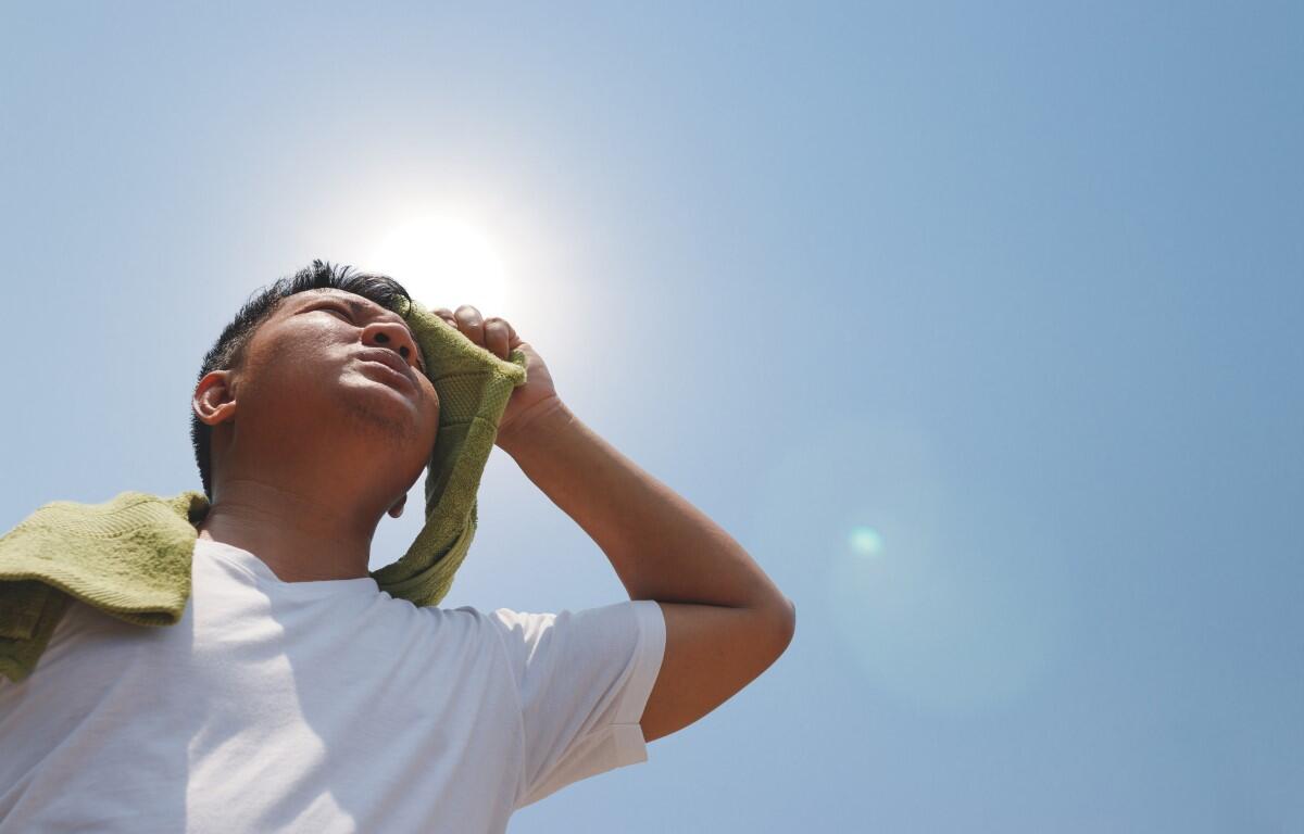
CLARKSVILLE, TN (CLARKSVILLE NOW) – We’re expected to have the hottest day of the heat wave yet today, with a high of 98 and a heat index up to 111.
An Excessive Heat Warning has been issued for Montgomery and nearby counties through 8 p.m. tonight.
“Dangerously hot” conditions are expected, according to the National Weather Service. “Extreme heat and humidity will significantly increase the potential for heat related illnesses, particularly for those working or participating in outdoor activities.”
On Thursday, the temperature at Outlaw Field in Clarksville reached 96 degrees, with a heat index of 108 and 51% humidity.
MORE: What’s a heat index? Your guide to summer heat warnings, how to stay safe
Heat wave continues
The heat wave might break on Saturday, with a chance of rain. Here’s the outlook:
Today: Sunny and hot, with a high near 98. Heat index values as high as 111. Calm wind becoming west southwest around 5 mph in the morning.
Tonight: Mostly clear, with a low around 75. West southwest wind around 5 mph.
Saturday: A 30 percent chance of showers and thunderstorms, mainly after 4pm. Mostly sunny and hot, with a high near 98. Heat index values as high as 110. Southwest wind 5 to 10 mph becoming north northwest in the afternoon.
Saturday Night: A 30 percent chance of showers and thunderstorms before 7pm. Mostly cloudy, with a low around 71. North northeast wind 5 to 10 mph.
Sunday: A 20 percent chance of showers and thunderstorms. Mostly sunny, with a high near 87. North wind 5 to 10 mph.
Sunday Night: Partly cloudy, with a low around 66. North northeast wind around 10 mph.