
CLARKSVILLE, TN (CLARKSVILLE NOW) – We’re in for heavy rain tonight through Thursday, shifting to freezing rain Thursday afternoon.
The heavy rain tonight, all day Wednesday and into Thursday morning could bring localized flooding, with some rivers and creeks rising to action stage or minor flood stage, according to the National Weather Service. Rain totals tonight through Thursday night are expected to range from 2 to 4 inches.
“The heaviest rain will occur during the day on Thursday. High rivers and creeks will linger into the weekend,” the NWS said.

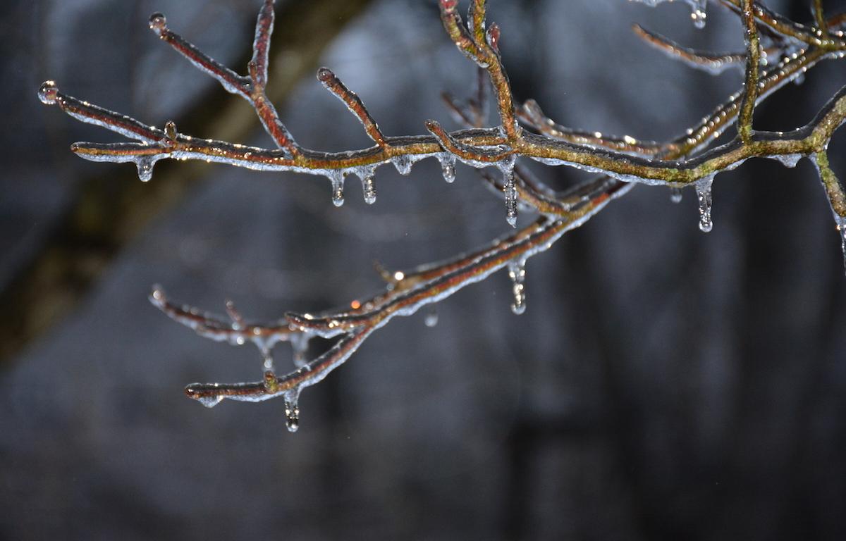
When temperatures drop late Thursday afternoon, that rain will turn to freezing rain.
Clarksville could get 0.1 to 0.2 inches of freezing rain, causing dangerous driving conditions Thursday night and Friday morning.
For local severe weather alerts and updates, tune in to radio stations Beaver 100.3, Q108, Z97.5, Rewind 94.3 or NewZee 105.5.
Clarksville forecast
Here’s the day-by-day outlook.
Tonight: Partly cloudy early in the evening. Showers after midnight. Lows in the mid 40s. South winds 5 to 15 mph. Chance of showers near 100 percent.
Wednesday: Cloudy. Showers in the morning, then a chance of showers in the afternoon. Highs in the mid 50s. South winds 10 to 20 mph. Chance of showers 90 percent.
Wednesday night: Rain showers. Lows in the mid 30s. Southwest winds 5 to 15 mph shifting to the north after midnight. Chance of showers near 100 percent.
Thursday: Rain showers in the morning, then rain showers possibly mixed with freezing rain in the afternoon. Locally heavy rainfall possible in the morning. Highs in the lower 40s. North winds 10 to 15 mph. Chance of precipitation near 100 percent.
Thursday night: Cloudy. Light freezing rain, sleet likely possibly mixed with rain showers and snow showers in the evening, then a slight chance of light freezing drizzle, snow showers and sleet after midnight. Lows in the mid 20s. North winds 10 to 15 mph with gusts to around 30 mph. Chance of precipitation 60 percent.
Friday: Mostly cloudy. Highs in the lower 30s.