
CLARKSVILLE, TN (CLARKSVILLE NOW) – The heat index in Clarksville today is expected to be between 109 and 114 today, and the National Weather Service has issued a Heat Advisory.
The advisory is in effect from 11 a.m. to 8 p.m., and it continues for the same time period Thursday. It may be extended to Friday as well.
Hot temperatures, with natural highs in the mid-90s, combined with high humidity may cause heat illnesses to occur.
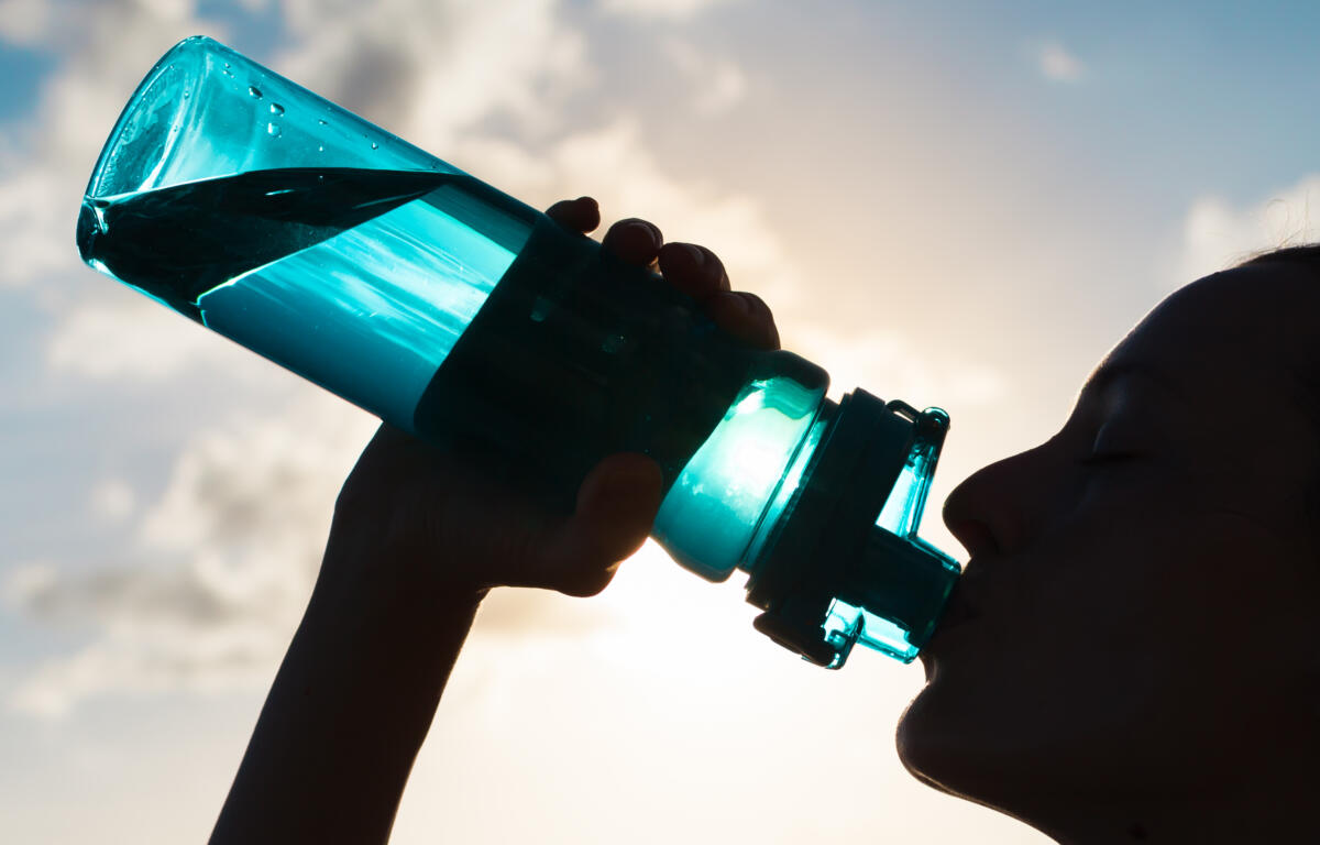
“Drink plenty of fluids, stay in an air-conditioned room, stay out of the sun, and check up on relatives and neighbors. Young children and pets should never be left unattended in vehicles under any circumstances,” the NWS said.
“Take extra precautions if you work or spend time outside. When possible reschedule strenuous activities to early morning or evening. Know the signs and symptoms of heat exhaustion and heat stroke. Wear lightweight and loose fitting clothing when possible. To reduce risk during outdoor work, the Occupational Safety and Health Administration recommends scheduling frequent rest breaks in shaded or air conditioned environments. Anyone overcome by heat should be moved to a cool and shaded location. Heat stroke is an emergency! Call 911.”
Clarksville forecast
Here’s the day-by-day outlook.
Today: Mostly sunny until late afternoon then becoming partly cloudy. Highs in the mid 90s. Southwest winds 5 to 10 mph. Heat index readings 109 to 114.
Tonight: Mostly clear. Lows in the mid 70s. Southwest winds 5 to 10 mph. Highest heat index readings around 105 early in the evening in the evening.
Thursday: Mostly sunny in the morning, then partly cloudy with a 20 percent chance of showers and thunderstorms in the afternoon. Highs in the upper 90s. Southwest winds 5 to 10 mph. Heat index readings 109 to 114.
Thursday night: Mostly clear. Lows in the mid 70s. Southwest winds around 5 mph.
Friday: Partly cloudy with a 50 percent chance of showers and thunderstorms. Highs in the mid 90s. Southwest winds 5 to 10 mph.
Friday night: Mostly cloudy with a 40 percent chance of showers and thunderstorms. Lows in the lower 70s.
Saturday: Partly cloudy in the morning then becoming partly sunny. A 50 percent chance of showers and thunderstorms. Highs in the upper 80s.
Saturday night: Partly cloudy in the evening then becoming mostly cloudy. Lows in the mid 60s.
Sunday: Partly cloudy. A 30 percent chance of showers and thunderstorms in the afternoon. Highs in the upper 80s.
Sunday night: Partly cloudy. Lows in the upper 60s.
Monday: Partly cloudy with a 50 percent chance of showers and thunderstorms. Highs in the upper 80s.
Monday night: Partly cloudy with a 20 percent chance of showers and thunderstorms. Lows in the upper 60s.
Tuesday: Partly cloudy with a 50 percent chance of showers and thunderstorms. Highs in the mid 80s.