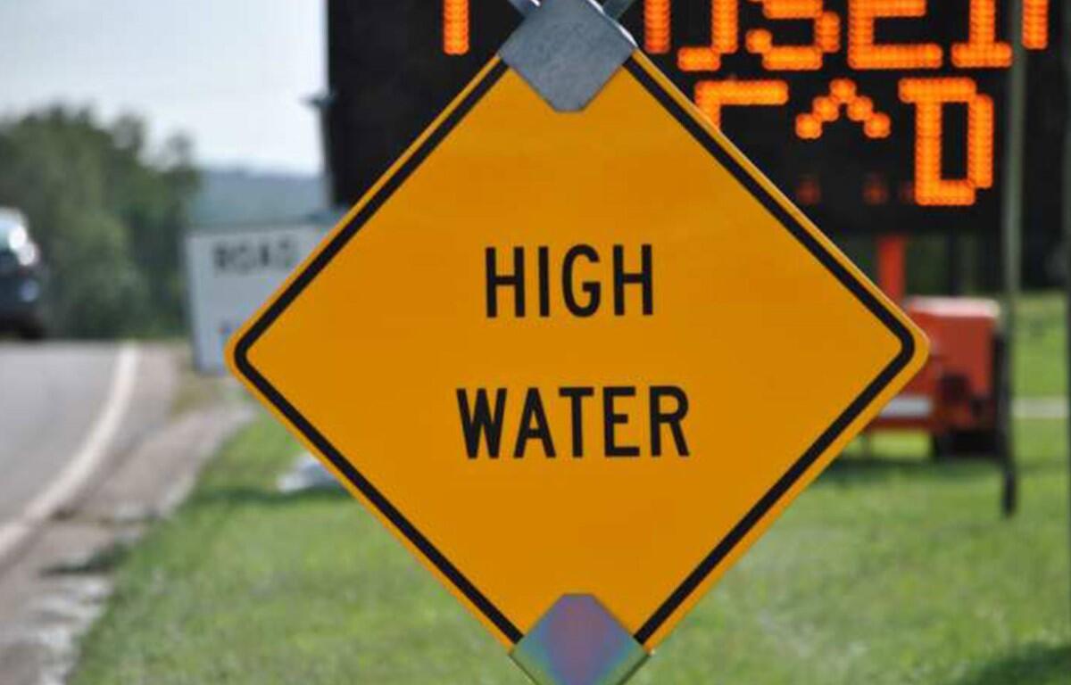

CLARKSVILLE, TN (CLARKSVILLE NOW) – While Flood Warnings have been canceled for the Cumberland and Red Rivers in Clarksville, a Flood Watch remains in effect for the entire area.
Montgomery County is expected to get another 1-2 inches of rain through late tonight, after heavy rains that have already saturated the area, according to the National Weather Service.

“Excessive runoff may result in flooding of rivers, creeks, streams and other low-lying and flood-prone locations,” the NWS said.
A Winter Weather Advisory was issued through 8 a.m. today, and freezing rain could return after midnight tonight.
Cumberland River
The Cumberland was at 42.5 feet at 6 a.m. today. It is expected to crest at about 6 p.m. on Friday at 45.4 feet, just below flood stage of 46 feet.
At 46 feet, flood waters begin to impact areas along the river, including agricultural and commercial properties, McGregor Park, and adjacent tributaries. Affected locations include South Riverside Drive near Highway 48, North Riverside Drive near Providence Boulevard East, Quarry Road, Kraft Street near College Street, and Zinc Plant Road. Water approaches properties near Salem Road and Seven Mile Ferry Road.
If you are in an advisory area, remain alert to possible flooding or the possibility of the advisory being upgraded to a warning.
Red River
At 6:30 a.m. today, the Red River was below action stage at 16.72 feet and falling, according to the National Weather Service. The river is expected to rise again and at noon Friday reach a crest of 26.7 feet, below the 30-foot flood stage.
At 17 feet, the public access parking lot at Port Royal State Park is inundated.
For local severe weather alerts and updates, tune in to radio stations Beaver 100.3, Q108, Z97.5, Rewind 94.3 or NewZee 105.5.
Clarksville forecast
Here’s the day-by-day outlook.
Today: Rain showers. A slight chance of thunderstorms this afternoon. Highs in the mid 40s. East winds 5 to 10 mph. Chance of rain near 100 percent.
Tonight: Cloudy. Rain showers with a slight chance of thunderstorms in the evening, then a chance of rain showers with a slight chance of freezing rain after midnight. Cold with lows in the lower 30s. West winds 5 to 10 mph. Chance of precipitation 80 percent.
Friday: Mostly cloudy in the morning, then becoming partly sunny. Highs around 40. Northwest winds 5 to 10 mph.
Friday night: Mostly cloudy. Cold with lows in the mid 20s. North winds 5 to 10 mph.
Saturday: Partly sunny. Highs in the mid 40s. North winds around 5 mph.
Saturday night: Mostly cloudy. A chance of snow showers after midnight. Cold with lows around 30. Chance of snow 30 percent.
Sunday and Sunday night: Mostly clear. Highs in the lower 50s. Lows in the upper 20s.