


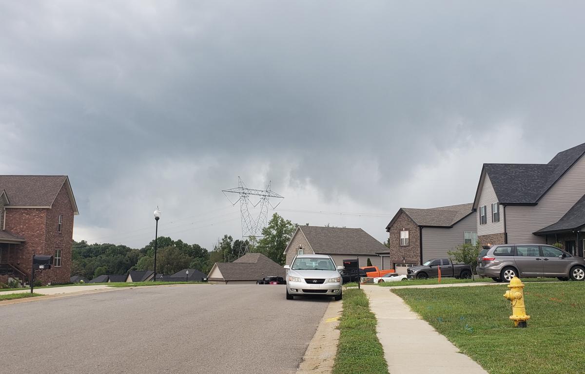

Update, 12:40 p.m.: Robertson and Cheatham counties are under a severe thunderstorm warning through 1:15 p.m.
Update:, 12:13 p.m.: Cheatham County has been added to the tornado warning for Dickson County, and that warning has been extended through 12:45 p.m.
Both counties are also under a severe thunderstorm warning through 1 p.m.
Update: 12:01 p.m.: A tornado warning has been issued for Dickson County from 12:01 a.m. through 12:15 p.m. in a storm system that is moving north toward Montgomery County.
At noon, a severe thunderstorm capable of producing a tornado was located near Centerville, moving northeast at 40 mph. Radar indicated rotation in the storm.
“Flying debris will be dangerous to those caught without shelter. Mobile homes will be damaged or destroyed. Damage to roofs, windows, and vehicles will occur. Tree damage is likely,” the NWS alert said.
“This tornadic thunderstorm will remain over mainly rural areas of southeastern Dickson, northwestern Williamson and northeastern Hickman Counties, including the following locations: Primm Springs and Lyles.”
“This includes the following highways: Interstate 40 between mile markers 180 and 183. Interstate 840 between mile markers 2 and 16.
Residents are advised to take cover. “Move to a basement or an interior room on the lowest floor of a sturdy building. Avoid windows. If you are outdoors, in a mobile home, or in a vehicle, move to the closest substantial shelter and protect yourself from flying debris.”

Update, 11:40 a.m.: A severe thunderstorm warning has been issued for Montgomery, Dickson and Cheatham counties.
The warning is in effect from 11:37 a.m. through noon.
Update, 10:30 a.m.: A tornado watch has been issued for the Clarksville area by the National Weather Service.
The watch is effective from 10:29 a.m. through 4 p.m. for Montgomery and most nearby counties: Montgomery plus Cheatham, Davidson, Decatur, Dickson, Giles, Hardin, Hickman, Houston, Humphreys, Lawrence, Lewis, Marshall, Maury, McNairy, Perry, Robertson, Wayne and Williamson.
A “tornado watch” means conditions are right for a tornado to form, and residents should be on the alert. A “tornado warning” will be issued if a tornado is spotted in the area.
Previously:
CLARKSVILLE, Tenn. (CLARKSVILLENOW) – A flash flood watch has been issued for Montgomery and surrounding counties from noon today through late tonight.
Heavy showers associated with the remnants of Hurricane Laura will move across Middle Tennessee, according to the National Weather Service in Nashville.
The storm should bring 1 to 2 inches of rainfall, but a few locations under the heaviest showers could have 3 to 4 inches.

Localized flash flooding may occur. Drivers are warned not to enter or cross flowing water or water of unknown depth.
Strong wind gusts expected
Montgomery County emergency officials are preparing for heavy winds from Hurricane Laura.
“We’ll be monitoring the weather throughout the day and night into Saturday morning,” Ed Baggett, director of the Montgomery County Emergency Management Agency, said Thursday.
“We’re expecting to have weather moving in around noon time. We could have some possible storms pop up throughout the afternoon and late evening, with some winds 20 to 30 mph and possible gusts up to 50 mph,” Baggett said.
“It should be out of here by Saturday morning early, and Saturday evening we’re expecting a cold front to come in.”
This story will be updated.