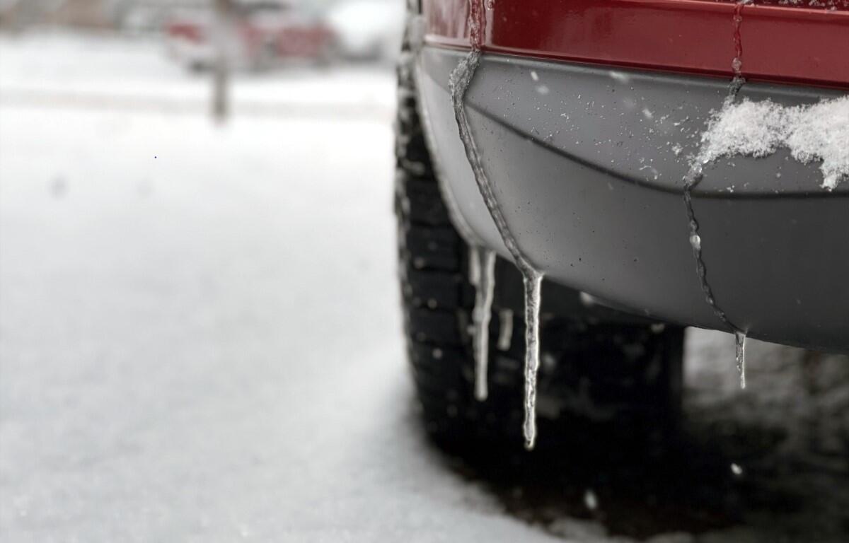

CLARKSVILLE, TN (CLARKSVILLE NOW) – Today’s high will stay below freezing in Clarksville, with lows tonight dropping to the teens.
“Some improvement is on the way … with the sun coming out, but actual temperatures aren’t even going to reach freezing on Friday, so we may keep the snow around into Saturday as well,” meteorologist Sam Herron at the National Weather Service told Clarksville Now.
High temperatures today will only make the mid to upper 20s.
Saturday will bring highs in the 40s. Then rain is coming on Saturday night, with a chance of thunderstorms after midnight, according to the NWS.
Clarksville forecast
Today: Partly cloudy. Highs in the mid 20s. Northwest winds 5 to 10 mph shifting to the northeast in the afternoon. Lowest wind chill readings 5 below to 5 above zero in the morning.
Tonight: Mostly clear. Lows around 14. East winds around 5 mph.
Saturday: Not as cool. Mostly sunny in the morning then becoming partly cloudy. Highs in the mid 40s. South winds 5 to 15 mph.
Saturday night: Not as cool. Showers likely in the evening, then showers and slight chance of thunderstorms after midnight. Lows in the lower 40s. South winds 10 to 20 mph. Chance of precipitation near 100 percent.
Sunday: Showers and a chance of thunderstorms in the morning, then a chance of showers and slight chance of thunderstorms in the afternoon. Highs in the lower 50s. Southwest winds 5 to 10 mph shifting to the north 10 to 15 mph in the afternoon. Chance of precipitation near 100 percent.
Sunday night: Partly cloudy. Lows in the lower 20s.