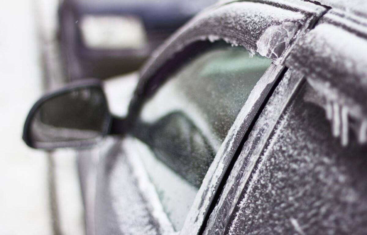

Update, 2:40 p.m.: A wintry mix is expected in Clarksville on Thursday, with up to one-tenth an inch of ice and less than one inch of snow. A Winter Weather Advisory is in effect from noon Thursday until 9 a.m. Friday.
“We do expect a combination of maybe some light rain or freezing rain and maybe some snow during the day (Thursday),” NWS Meteorologist Mark Rose told Clarksville Now. “High temperatures only going to be maybe 34, so most of what falls will be freezing or frozen. Very light accumulations of ice and then very light accumulation of snow may make driving conditions slightly worse. … But it won’t be a major winter event like what we had earlier in the week.”
MORE: Snow closings: Clarksville-Montgomery County Schools closed again Thursday
Previously:
CLARKSVILLE, TN (CLARKSVILLE NOW) – For three days now, Clarksville has had single-digit morning temperatures, and this one was the lowest at only 5 degrees. At 7:30 a.m. Wednesday, the wind chill was -9, and a Wind Chill Advisory from the National Weather Service continues through 10 a.m.
With temperatures that low, road conditions are still difficult in some areas, and Clarksville-Montgomery County Schools are closed. The high today will reach 30 degrees with sunny skies, so that should help with melting of icy patches on the roads.
LIVE VIDEO: Click here to check conditions on Clarksville traffic cameras
However, we have another winter weather event coming Thursday, with snow, freezing rain and possible ice accumulation.
Clarksville forecast
Here’s the day-by-day outlook.
- Today: Sunny, with a high near 30. Wind chill values as low as -7. South southwest wind 5 to 15 mph, with gusts as high as 20 mph.
- Tonight: Mostly clear, with a low around 17. South wind 5 to 10 mph.
- Thursday: Rain showers, snow showers, and freezing rain likely before 3pm, then rain or freezing rain between 3pm and 5pm, then a chance of rain showers, snow showers, and freezing rain after 5pm. High near 34. South wind 5 to 10 mph, with gusts as high as 20 mph. Chance of precipitation is 80%. New ice accumulation of less than a 0.1 of an inch possible. New snow accumulation of less than a half inch possible.
- Thursday night: A chance of rain showers, snow showers, and freezing rain before 9pm, then a chance of rain and snow showers between 9pm and midnight. Mostly cloudy, with a low around 20. East southeast wind 5 to 10 mph becoming west northwest in the evening. Chance of precipitation is 40%.
- Friday: Mostly cloudy, with a high near 26. Northwest wind around 15 mph, with gusts as high as 25 mph.
- Friday night: Partly cloudy, with a low around 5. Northwest wind 10 to 15 mph, with gusts as high as 20 mph.
- Saturday: Mostly sunny, with a high near 19. North northwest wind around 10 mph.
- Saturday night: Mostly clear, with a low around 3. North wind around 5 mph becoming east northeast after midnight.
- Sunday: Mostly sunny, with a high near 30. East southeast wind 5 to 10 mph.
- Sunday night: Partly cloudy, with a low around 20.
WEATHER ALERTS: For local severe weather alerts and updates, tune in to radio stations Beaver 100.3, Q108, Z97.5, Rewind 94.3 or The Patriot 105.5.
Lee Erwin contributed to this report.