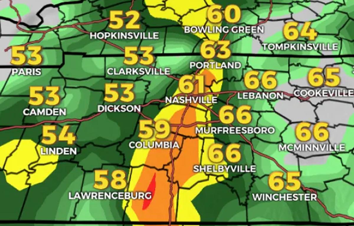

NASHVILLE, Tenn. (WKRN) – After nearly a week of extremely mild temperatures for late December, a cold front will approach Middle Tennessee and South Kentucky on Sunday.
Ahead of it, showers and thunderstorms will make their way across the mid-south, and a few of the storms could be strong as they push into our mild temperatures.
The Storm Prediction Center has placed most of Middle Tennessee and South Kentucky under a Marginal Risk (category 1 out of 5) for severe weather.
Although showers and storms could occur at any time of the day, the strongest storms are anticipated during the afternoon and evening hours.
The main threats will be flooding and damaging winds. Although the tornado threat is very low, it is not zero, so we will keep a close eye on that.
Several rounds of storms could dump between 1 and 2 inches of rain, and a few locations could see even more. This could lead to some localized flooding, so stay weather aware!
Flood Watches are in effect for South Kentucky, but we can’t rule out some localized flooding in Middle Tennessee, as well.
Keep an eye on the radar at wkrn.com/radar.
RELATED NEWS
If the weather in Montgomery County, TN or Christian County, KY turns severe, the following local radio stations provide wall to wall weather coverage:
Beaver – 100.3FM
Q108 – 107.9FM
Rewind 94.3 – 94.3FM
Z975 – 97.5FM
Sunny 991 – 99.1FM
Outlaw 100.7 – 100.7FM
ESPN Clarksville – 104.1FM
EZ 99.9 – 99.9FM