
NASHVILLE, Tenn. (WKRN) — Huge changes in Middle Tennessee’s weather are about to happen, not only with rain creating a sloppy mess mid-week, but very cold weekend temperatures.
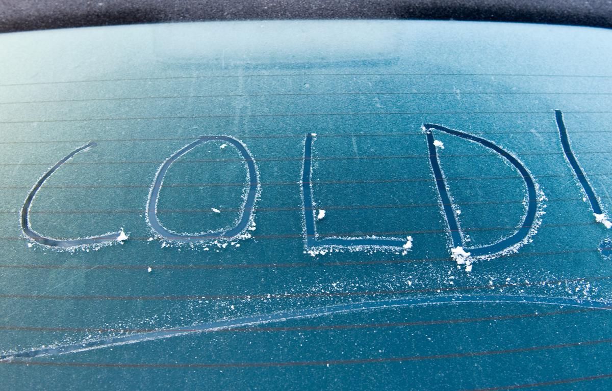
Widespread frost and freezing conditions are expected.
Moisture from the south in combination with a powerful cold front to the west help to amplify rain Wednesday morning and lasting into early Thursday. At times, rain should be heavy.
The Storm Prediction Center (SPC) has highlighted Middle Tennessee and Southern Kentucky under a “marginal” (category 1 of 5) risk for severe storms.
Aside from downpours and lightning, straight line wind gusts in excess of 40 mph should be the highest impacts. Hail and tornadoes should not be in the cards with this system.
Rain totals at this time are anticipated to range between one to three inches. Due to how prolonged the rain will last, no major flooding is in the current forecast.
The front associated with this blast of cold air sweeps through the area Thursday afternoon, dropping temperatures quickly. By Friday morning, most areas should be in the 30s with possible freezing temperatures in Southern Kentucky.
However, the core of the cold air sits over the region during the weekend. Therefore, most areas drop to the lower 30s and upper 20s Saturday and Sunday mornings. The average first frost/freeze in Nashville is October 28th, so this type of chill is common by this time.
Several things to remember, your pets, plants, and pipes. While this kind of cold air should not burst pipes, we should start thinking about insulating any outdoor exposed pipes.