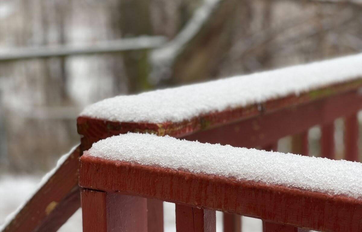

CLARKSVILLE, TN (CLARKSVILLE NOW) – Sleet and snow will cover Clarksville tonight, with most of the county likely to get up to an inch of accumulation.
“As a strong cold front moves through mid state region late this afternoon into evening hours, temperatures will turn significantly colder behind its passage,” the National Weather Service said in an advisory. “Initial rain showers will transition to rain showers, sleet, freezing rain and snow showers mixture as precipitation moves west to east.”
Most of Montgomery County is projected to get a half-inch to 1 inch of accumulation, from this evening through Thursday morning.

“Snowfall and ice accumulations could lead to hazardous traveling conditions in some locations,” the advisory said. “Exercise caution while driving area roadways tonight through Thursday as high temperatures across most of mid state will not get above freezing on Thursday, and frozen moisture will remain on many mid state roadways.”
Clarksville forecast
Here’s the day-by-day outlook.
Today: Showers. Highs around 50. South winds 5 to 15 mph shifting to the northwest 5 to 10 mph in the afternoon. Chance of showers near 100 percent.
Tonight: Colder. Rain showers, sleet possibly mixed with snow showers and freezing rain in the evening, then a chance of snow showers possibly mixed with freezing rain after midnight. Snow and sleet accumulation up to 1 inch. Lows around 20. North winds 10 to 20 mph. Chance of precipitation near 100 percent.
Thursday: Colder. Partly cloudy. Highs in the upper 20s. North winds 10 to 15 mph.
For local severe weather alerts and updates, tune in to radio stations Beaver 100.3, Q108, Z97.5, Rewind 94.3 or NewZee 105.5.