
Update, 9:50 a.m.:While highs will be only in the 20s on Wednesday, full sunshine will help with the melting process, according to the NWS.
More snow is expected Thursday and Friday, but it should be less than an inch of accumulation.

Previously:
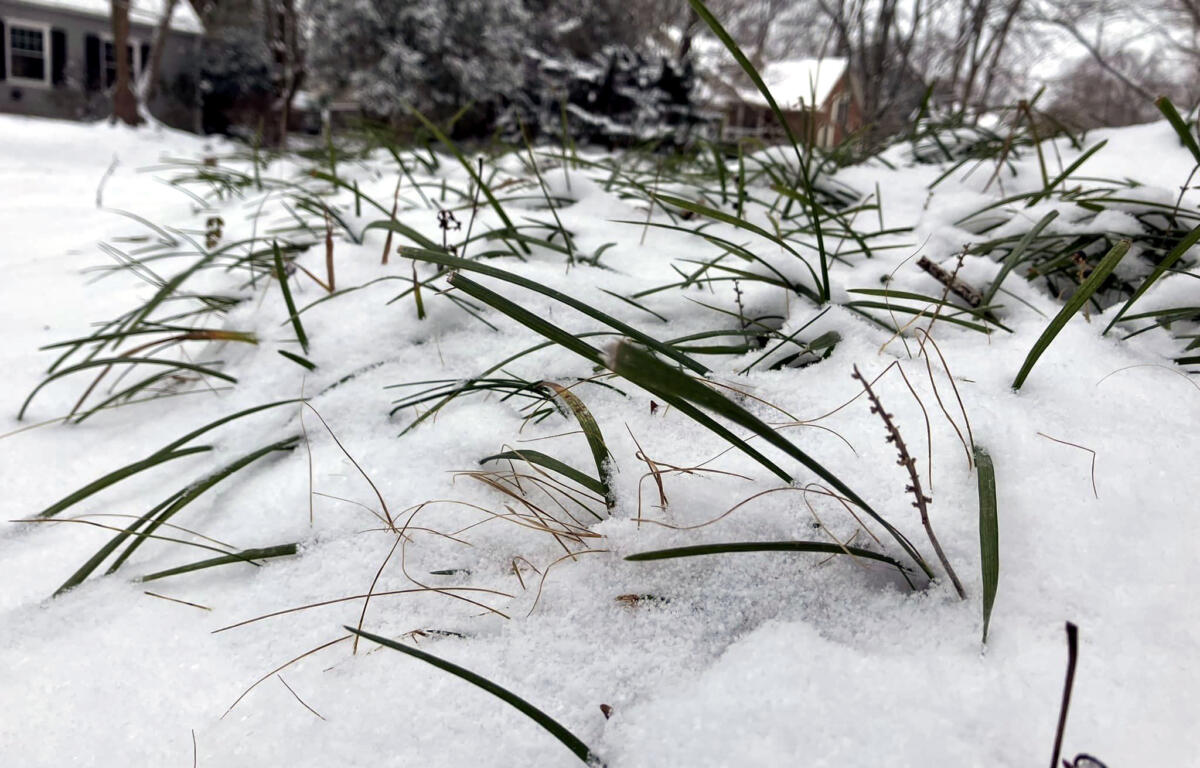
CLARKSVILLE, TN (CLARKSVILLE NOW) – For the second day in a row, Clarksville woke to single-digit temperatures Tuesday, at only 9 degrees at 8 a.m.
The wind chill was -7, and a Wind Chill Advisory has been issued by the National Weather Service through 10 a.m. Wednesday.
“Plan on slippery road conditions,” the NWS said. “The cold wind chills could result in hypothermia if precautions are not taken.”
At temperatures that low, road conditions are still difficult in some areas, and Clarksville-Montgomery County Schools are closed.
MORE: Closings in Clarksville: Schools, businesses and offices closed over snow
LIVE VIDEO: Click here to check conditions on Clarksville traffic cameras
It’s about to get even colder. The low in Clarksville tonight could reach 4 degrees, with a wind chill at -4. But the high Wednesday is in the upper 20s with sunny skies, so there may be a chance for melting.
Clarksville forecast
Here’s the day-by-day outlook, which shows more snow coming on Thursday.
- Today: Partly sunny, with a high near 16. Wind chill values as low as -8. West northwest wind 5 to 10 mph.
- Tonight: Mostly clear, with a low around 4. Wind chill values as low as -4. West wind around 5 mph becoming south southwest after midnight.
- Wednesday: Sunny, with a high near 28. Wind chill values as low as -7. Southwest wind 5 to 15 mph, with gusts as high as 20 mph.
- Wednesday night: Increasing clouds, with a low around 15. South wind 5 to 10 mph.
- Thursday: Snow showers likely, mainly after noon. Cloudy, with a high near 32. South wind 5 to 10 mph becoming east southeast in the afternoon. Chance of precipitation is 70%.
- Thursday night: A 40 percent chance of snow showers before midnight. Mostly cloudy, with a low around 18. East wind 5 to 15 mph becoming northwest in the evening. Winds could gust as high as 20 mph.
- Friday: Partly sunny, with a high near 23. Northwest wind around 15 mph, with gusts as high as 25 mph.
- Friday night: Partly cloudy, with a low around 3. Northwest wind 10 to 15 mph, with gusts as high as 20 mph.
- Saturday: Mostly sunny, with a high near 19. North wind 5 to 10 mph.
- Saturday night: Mostly clear, with a low around 5.
- Sunday: Mostly sunny, with a high near 32.
- Sunday night: Partly cloudy, with a low around 20.
- Monday: Partly sunny, with a high near 43.
WEATHER ALERTS: For local severe weather alerts and updates, tune in to radio stations Beaver 100.3, Q108, Z97.5, Rewind 94.3 or The Patriot 105.5.