



CLARKSVILLE, Tenn. (CLARKSVILLENOW) – A Flood Watch will go into effect Wednesday, Feb. 20, 2018 at noon for portions of Middle TN, including Montgomery County.
The National Weather Service says a slow moving frontal system is forecast to push into the area on Wednesday and linger across the area into Thursday.
This system will provide moderate to heavy rainfall. A second system will move in over the weekend and bring another round of moderate to heavy rainfall.
Between the two systems, 3 to 6 inches of rainfall will be possible. With grounds already saturated and area rivers and streams in flux due to previous rains, both river flooding and flooding outside rivers will be a big concern throughout this week.
The periods of heaviest rainfall are expected to be Wednesday afternoon and Wednesday night, and again Saturday afternoon and Saturday night.
Temperatures will remain the in the high 50s to low 70s throughout the week.
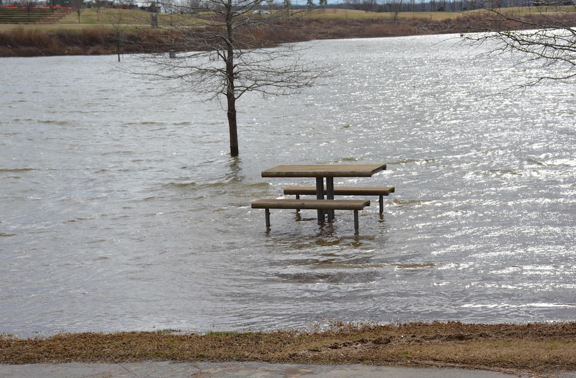
The city of Clarksville has already closed some area parks and boat ramps due to previous rainfall. These areas are closed until further notice:
* Liberty Park including Freedom Point and the Liberty BCycle Station
* Clarksville Marina
* McGregor Park And Trice Landing Boat Ramps
* Clarksville Greenway southern portion extending from Pollard Road toward the water treatment plant
Flooding has closed Liberty Park and the Clarksville Marina. (Photos: Rob Selkow/ClarksvilleNow.com)
For continuing weather coverage follow bookmark the Clarksvillenow Weather Page, follow us on Facebook and listen to the following 5-Star Media stations: Q108, Beaver 100.3, Rewind 94.3, Z97.5, ESPN Clarksville 104.1, Outlaw 100.7 & Sunny 99.1.