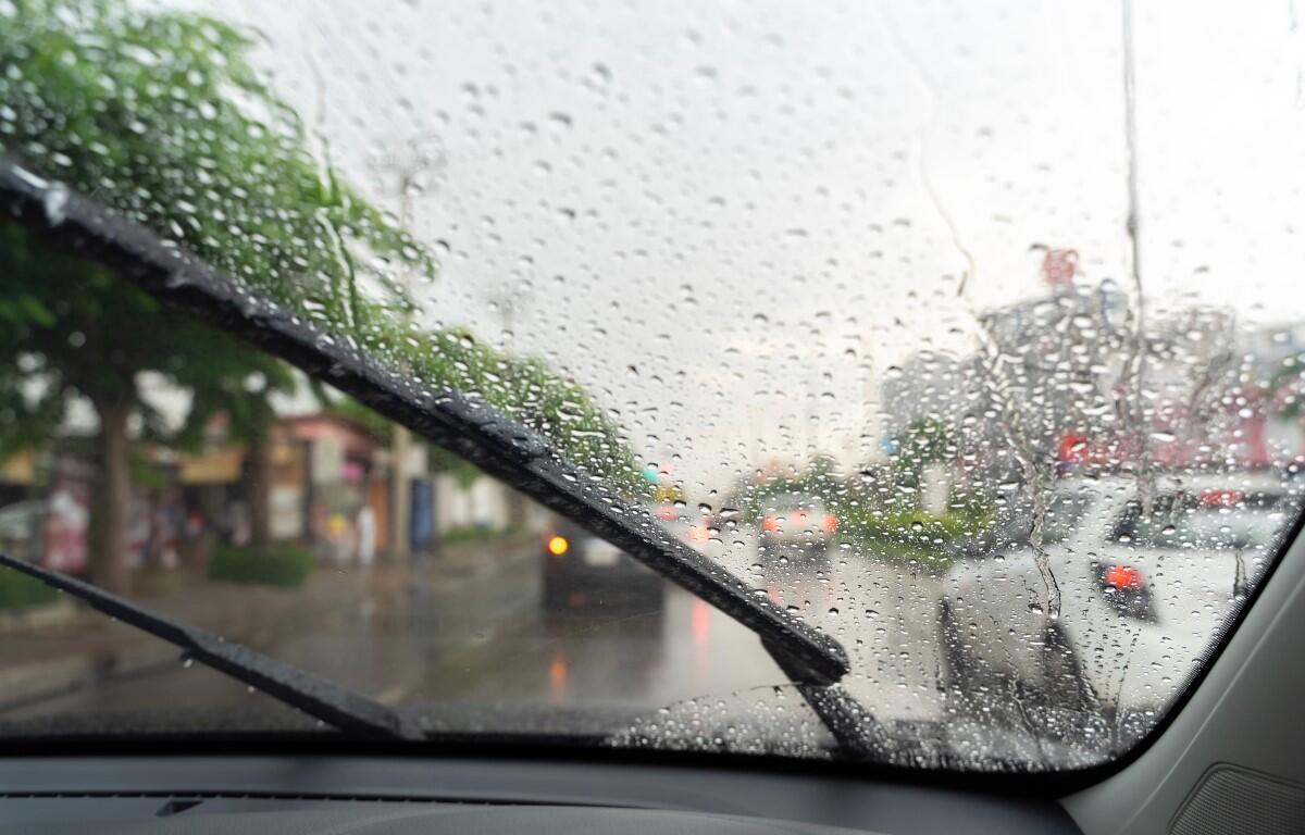

CLARKSVILLE, TN (CLARKSVILLE NOW) – The remnants of Hurricane Helene are likely to bring heavy rainfall to Clarksville, with 4 to 6 inches possible.
Meteorologist Sam Herron with the National Weather Service in Nashville said things will “get wild pretty quickly.”
“The deep tropical moisture associated with Hurricane Helene is going to come up this way and really soak the area pretty good (Thursday) and on through Friday,” Herron told Clarksville Now.
One NWS model shows Montgomery and surrounding counties getting 4-6 inches through Friday. Rainfall should start Thursday night.

Helene is forecast to make landfall on the Florida Gulf Coast around 7 p.m. Thursday. Moisture from the storm will roll in Thursday night, then the center of the storm should reach Middle Tennessee around 7 p.m. Friday.
Localized flooding from downpours is possible, especially street flooding and low lying areas, the NWS said. The threat for tornadoes and severe thunderstorms looks very low.
“All of that will be settling down a little bit as we go through Saturday and Sunday, but still a lot of that moisture will be hanging around,” Herron said. “So scattered showers and storms on and off through the weekend before that finally gets out of here as we get into next week and we go back to a drier pattern.”
Lee Erwin contributed to this report.
WEATHER UPDATES: Click here for seven-day and hour-by-hour Clarksville weather forecasts