
CLARKSVILLE, Tenn. – (CLARKSVILLENOW) – The forecast for snow accumulation has come down slightly, but low temperatures combined with gusty winds Monday night will put the wind chill in single digits through the mid-state.
A warming center remains open at Glory Worship Center at 1166 Fort Campbell Blvd. Manna Cafe Ministries is in need of volunteers to work the shelter. Visit them on Facebook for details.
RELATED: Montgomery County Animal Control issues cold weather safety warning for pets
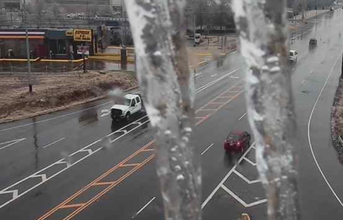
A strong cold front will move through Middle Tennessee tonight, which will bring much colder air to the area. Initial rain this evening will transition to a rain/snow mix before midnight. There is a strong possibility that there will not be enough moisture to receive accumulating snow. Some locations could see a few flurries, and further east and south may receive up to an inch of snow.
The bigger concern is the cold air. Any moisture on the roads may freeze quickly and result in hazardous travel conditions. Cold air will hang around for most of the week, so any melting on area roadways may refreeze during the evening and overnight hours, which may continue to make travel hazardous Wednesday into Thursday.

Cold temperatures may pose hazards to exposed plumbing, elderly, homeless, pets, and those working outdoors.
A slight chance of snow is also possible Tuesday night with the best chance for snow Thursday night and Friday morning.
For weather updates visit the ClarksvilleNow Weather page, follow us on Facebook and download the ClarksvilleNow app to receive severe weather alerts.


