


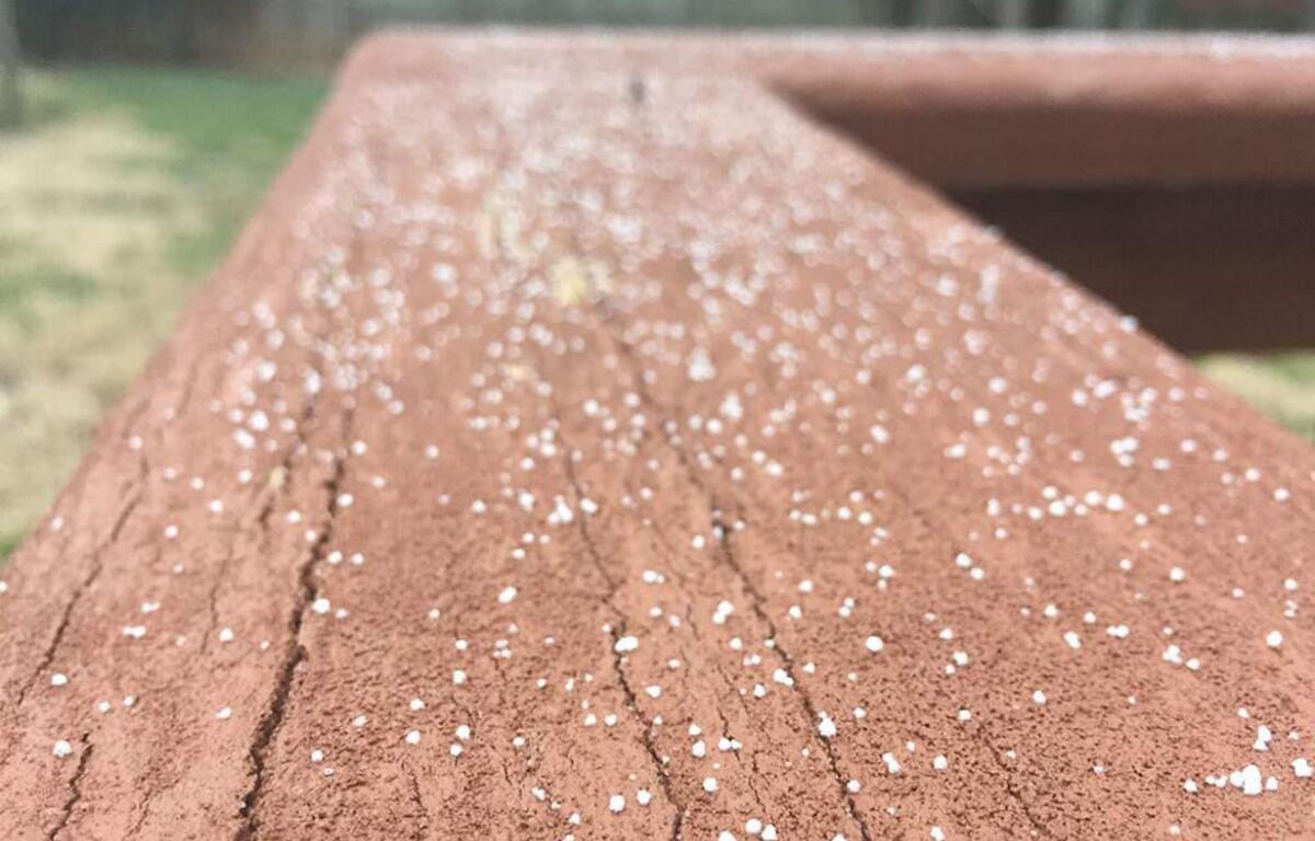

CLARKSVILLE, Tenn. (CLARKSVILLENOW) – We could be in for some snow to close this weekend, followed by several days of below-freezing weather.
Rain showers are expected Sunday evening, according to the National Weather Service, then there’s a chance of rain possibly mixed with snow showers after midnight.
Monday night through Wednesday night, lows should be in the 20s.
Clarksville forecast
Here’s the forecast for the whole week.
Today: Partly cloudy. Widespread fog early in the morning. Highs around 60. Southeast winds up to 5 mph shifting to the northwest in the afternoon.
Tonight: Mostly cloudy. Lows in the mid 30s. North winds up to 10 mph.
Saturday: Partly cloudy in the morning then clearing. Highs in the lower 50s. Northeast winds up to 5 mph.
Saturday night: Partly cloudy. Lows in the lower 30s. East winds up to 5 mph.
Sunday: Mostly cloudy. Rain showers likely in the afternoon. Highs in the mid 50s. Northeast winds up to 10 mph. Chance of showers 60 percent.
Sunday night: Cloudy. Rain showers in the evening, then a chance of rain showers possibly mixed with snow showers after midnight. Lows in the lower 30s. Chance of precipitation 80 percent.
Monday: Mostly cloudy. Slight chance of sprinkles and flurries in the morning. Highs in the upper 30s.
Monday night: Mostly cloudy. Lows in the mid 20s.
Tuesday and Tuesday night: Partly cloudy. Highs around 40. Lows in the mid 20s.
Wednesday: Mostly sunny. Highs in the upper 40s.
Wednesday night: Partly cloudy. Lows in the upper 20s.
Thursday: Partly cloudy. Slight chance of rain showers and snow showers in the morning, then a slight chance of rain showers in the afternoon. Highs in the upper 40s. Chance of precipitation 20 percent.