
CLARKSVILLE, TN – The Austin Peay State University GIS Center has partnered with Meharry Medical College on a three-year, $750,000 NASA grant to advance air mobility technology for emergency response and healthcare applications.
The collaborative research project will explore how custom-designed drones can support communities during natural disasters and enhance healthcare delivery, particularly in areas that are difficult to access through traditional means.
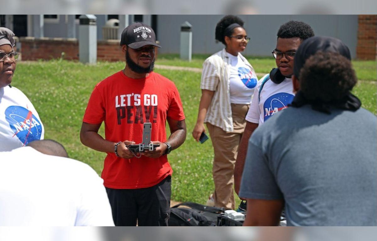
Flexible, 3D-Printed Drone Platform
The project is based on modular, 3D-printed drones manufactured by EchoMav, a Tennessee-based company. These aircraft function as a Swiss Army knife of drone technology, allowing researchers to customize them with different sensors and attachments based on mission requirements.
“The beauty of this platform is its flexibility,” said Doug Catellier, project manager for APSU GIS Center. “We can equip these drones with various sensors for data collection, or configure them to deliver medical supplies to areas that might be cut off during emergencies.”
The 3D-printed design offers significant advantages for smaller communities and emergency response organizations, as damaged components can be quickly reprinted and replaced, making the system cost-effective and resilient.
Real-Time Data for Emergency Response
The project aims to develop real-time data streaming capabilities from drones to ground-based mapping applications, allowing emergency responders to assess situations as they unfold rather than waiting for post-flight processing.
During natural disasters, multiple drones could quickly survey affected areas, collect imagery, detect potential gas leaks, measure elevation changes, and gather critical information for response teams.
“This technology could significantly reduce the time it takes to assess damage and coordinate relief efforts,” said Mason Cordell, a systems engineer for the GIS Center involved in the project.
Student Workforce Development
The grant emphasizes hands-on learning opportunities, involving approximately 15 students from Austin Peay and Meharry in all aspects of the research. Students assisting with the GIS Center’s work will gain experience in drone design, 3D printing, engineering, and data analysis.
The project also includes summer internship opportunities at NASA centers, giving students exposure to advanced air mobility technologies and potential career paths in a rapidly growing field.
Supporting Community Health and Safety
The research addresses real-world challenges in both urban and rural settings. In smaller communities like those in Middle Tennessee, the technology could enable delivery of medical supplies to areas cut off by severe weather or other emergencies. For larger metropolitan areas, the applications could scale up to support more extensive logistics and data collection operations.
“Our role is to build out the drones, get them flight-worthy, and handle all the technical flight operations,” Catellier said. “Meanwhile, Meharry will develop the specialized sensors for healthcare applications. It’s a natural partnership that plays to both institutions’ strengths.”
About the Research Partnership
The three-year project will focus on proving the feasibility and effectiveness of advanced air mobility solutions for emergency response and healthcare support. Austin Peay will handle the technical aspects of drone design, engineering, and flight operations, while Meharry will identify specialized sensors with a focus on healthcare applications. Once developed, Dr. Cody Covington from Austin Peay’s Department of Chemistry will integrate sensors and other electronic implements into the drones.
The research team expects to have the first drones built and flight-tested within the coming months, with initial data collection capabilities operational by summer. The project’s modular approach means successful components can be quickly scaled and adapted for use by emergency management agencies and healthcare systems across the region.