

Update, 12:25 a.m.: The worst of the storm has passed over Montgomery County, with some reports of trees and power lines down, according to county officials. Rainfall is likely to continue, however, leading to increasing flooding concerns.
Update, 12:07 a.m.: A Flash Flood Warning has been issued through 6 a.m. Thursday for Montgomery County. Doppler radar indicated thunderstorms producing heavy rain. Between 0.5 and 1.5 inches of rain have fallen. Additional rainfall amounts of 1 to 2 inches are possible. Flash flooding is ongoing or expected to begin shortly.
| MORE: Street crews prepare for flooding and washouts, sandbags available
Update, 11:54 p.m.: Severe thunderstorms were located along a line extending from Oak Grove to 6 miles southeast of Erin, moving east at 50 mph with 60 mph wind gusts and quarter size hail. Heavy rain and lightning have reached downtown Clarksville.
Update, 11:47 p.m.: The Tornado Watch for Montgomery County has been extended until 6 a.m. Thursday.


Update, 11:22 p.m.: A Severe Thunderstorm Warning has been issued for all of Montgomery County until 12:30 a.m. Severe thunderstorms were located along a line extending from 6 miles west of Fort Campbell to 9 miles east of Springville, moving northeast at 50 mph with possible 60 mph wind gusts and quarter size hail.
Update, 11:06 p.m.: A Tornado Warning has been issued for Stewart County and northwestern Houston County until 11:30 p.m. in a storm moving toward Clarksville. A severe thunderstorm capable of producing a tornado was located 8 miles southeast of Paris Landing State Park, moving northeast at 50 mph with a possible tornado and quarter size hail.
| MORE: Weather delays: CMCSS, Montgomery County offices to open on 2-hour delay
Update, 10:55 p.m.: A Severe Thunderstorm Warning has been issued for western Montgomery County until midnight. Severe thunderstorms were located along a line extending from 7 miles north of Big Rock to 6 miles southwest of Springville, moving northeast at 50 mph with possible 60 mph wind gusts and quarter size hail.
Update, 9:57 p.m.: A Severe Thunderstorm Warning has been issued for Stewart County and northwestern Houston County until 11 p.m., in a storm moving toward Clarksville. Severe thunderstorms were located along a line extending from near Turkey Bay to 6 miles northwest of Paris Landing State Park to near McKenzie, moving northeast at 60 mph with possible 60 mph wind gusts and quarter size hail.
Update, 8:05 p.m.: Tennessee Gov. Bill Lee has issued a State of Emergency ahead of the expected severe storms and flooding this week. Additionally, Lee has requested an Emergency Declaration for Tennessee.
Update, 7:10 p.m.: The Severe Thunderstorm Warning for Montgomery County has been canceled. We remain under a Tornado Watch, Flood Watch and Wind Advisory.
Update, 6:55 p.m.: A storm was located 8 miles southwest of Fort Campbell, moving northeast at 45 mph.
Update, 6:26 p.m.: A Severe Thunderstorm Warning has been issued for Montgomery County until 7:30 p.m. A severe thunderstorm was located near Tennessee Ridge, or near Erin, moving northeast at 45 mph with possible 60 mph wind gusts and quarter-size hail. “Hail damage to vehicles is expected. Expect wind damage to roofs, siding, and trees,” the NWS said. “For your protection move to an interior room on the lowest floor of a building.”
Update, 6 p.m.: A Severe Thunderstorm Warning has been issued for Stewart and Houston counties, for the storm moving toward Montgomery County.
Update, 2:50 p.m.: A Tornado Watch has been issued for Montgomery and nearby counties until midnight tonight. A Watch means that conditions are right for a tornado to form at any time. If a tornado is spotted or indicated on radar, a Tornado Warning will be issued.
Update, 9:30 a.m.: The latest forecast shows an 81% chance of 5 inches or more of rainfall in Clarksville from Thursday through Sunday. There’s a 50% chance that it will be 7 inches or more. As for the rivers, there’s a 20% chance of minor flooding for the Cumberland River, cresting Monday. There’s a 20% to 25% chance of moderate flooding of the Red River, cresting Sunday.
Previously:
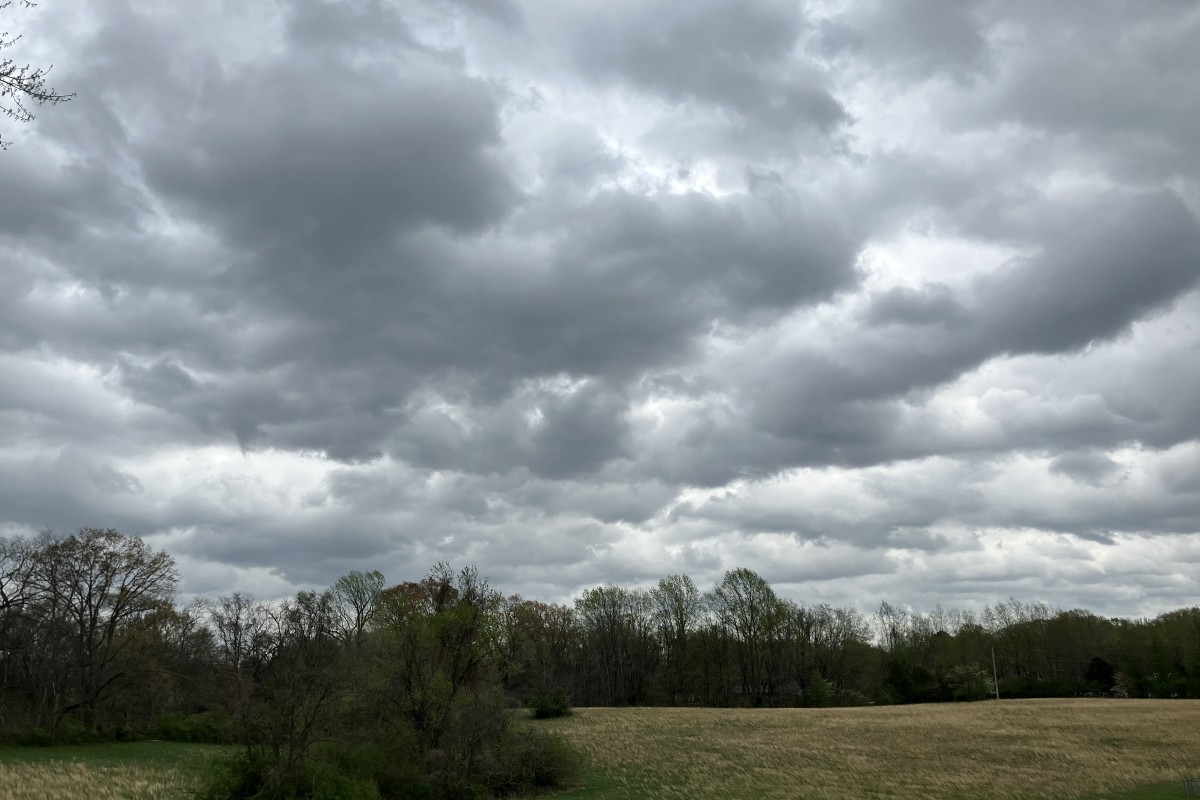
CLARKSVILLE, TN (CLARKSVILLE NOW) – The severe storms expected tonight in Clarksville could bring damaging winds up to 70 mph, large hail up to 2 inches in diameter, possibly strong tornadoes and flooding.
The greatest severe threats should occur between 9 p.m. tonight and and 6 a.m. Thursday, according to the National Weather Service.
Montgomery County is under a Wind Advisory until 4 a.m. Thursday. “Gusty winds will blow around unsecured objects. Tree limbs could be blown down and a few power outages may result,” the NWS said.

Flooding expected
Flooding could be the worst effect of these storms, especially into this weekend. Clarksville is expected to get 8-10 inches of rainfall from the storms from tonight through Sunday, causing significant flooding. Montgomery County is under a Flood Watch from 7 p.m. tonight until 7 a.m. Sunday.
“Rain will finally come to an end late Sunday, but rivers and creeks will likely still be responding leading into next week,” the NWS said.
This article will be updated.
| LOCAL WEATHER: For Clarksville-specific weather updates, sign up for push alerts from our free Clarksville Now app
Clarksville forecast
Here’s the day-by-day outlook:
- Wednesday: A 20 percent chance of showers and thunderstorms after 3pm. Some of the storms could be severe. Partly sunny, with a high near 84. South wind 15 to 20 mph, with gusts as high as 40 mph.
- Wednesday night: Showers and thunderstorms likely, then showers and possibly a thunderstorm after 2am. Some of the storms could be severe and produce heavy rainfall. Low around 64. South southwest wind 15 to 20 mph, with gusts as high as 30 mph. Chance of precipitation is 90%. New rainfall amounts between 1 and 2 inches possible.
- Thursday: Showers and possibly a thunderstorm. Some of the storms could be severe. High near 72. West southwest wind 5 to 10 mph becoming east northeast in the morning. Chance of precipitation is 90%. New rainfall amounts between 1 and 2 inches possible.
- Thursday night: Showers and possibly a thunderstorm. Some of the storms could be severe. Low around 63. East northeast wind 5 to 10 mph becoming south southwest after midnight. Chance of precipitation is 80%.
- Friday: Showers likely and possibly a thunderstorm. Some of the storms could be severe. Mostly cloudy, with a high near 82. South wind 5 to 10 mph. Chance of precipitation is 70%.
- Friday night: A 30 percent chance of showers and thunderstorms. Some of the storms could be severe. Mostly cloudy, with a low around 68. South southeast wind 5 to 15 mph, with gusts as high as 20 mph.
- Saturday: A chance of showers, then showers likely and possibly a thunderstorm after 1pm. Some of the storms could be severe. Mostly cloudy, with a high near 82. South wind 10 to 15 mph, with gusts as high as 25 mph. Chance of precipitation is 60%.
- Saturday night: Showers and possibly a thunderstorm. Some of the storms could be severe and produce heavy rainfall. Low around 56. South wind 10 to 15 mph, with gusts as high as 20 mph. Chance of precipitation is 100%.
- Sunday: A 50 percent chance of showers and thunderstorms. Mostly cloudy, with a high near 63. West wind 10 to 15 mph, with gusts as high as 20 mph.
- Sunday night: Mostly cloudy, with a low around 41.
| WEATHER UPDATES: Click here for seven-day and hour-by-hour Clarksville weather forecasts