
Update, 12:01 p.m.: Heavy rainfall brought rising water on both the Cumberland and Red Rivers, but the situation has improved.
The Red River crested at 7 a.m. at 29.64 feet, just below flood stage, which is 30 feet. Action stage is 25 feet.
On the Cumberland, the river was at 39.93 feet and rising as of 11 a.m. The river is expected to rise to a crest of 39.9 feet at 6 p.m. Action stage is 40 feet. Flood stage is 46 feet.
Roads appear to be mostly dry, be could be icy in some spots.
Update, 8:40 a.m.: The Woodlands Trace Scenic Byway is closed along with facilities at Land Between the Lakes due to downed trees, poor road conditions and power outages.
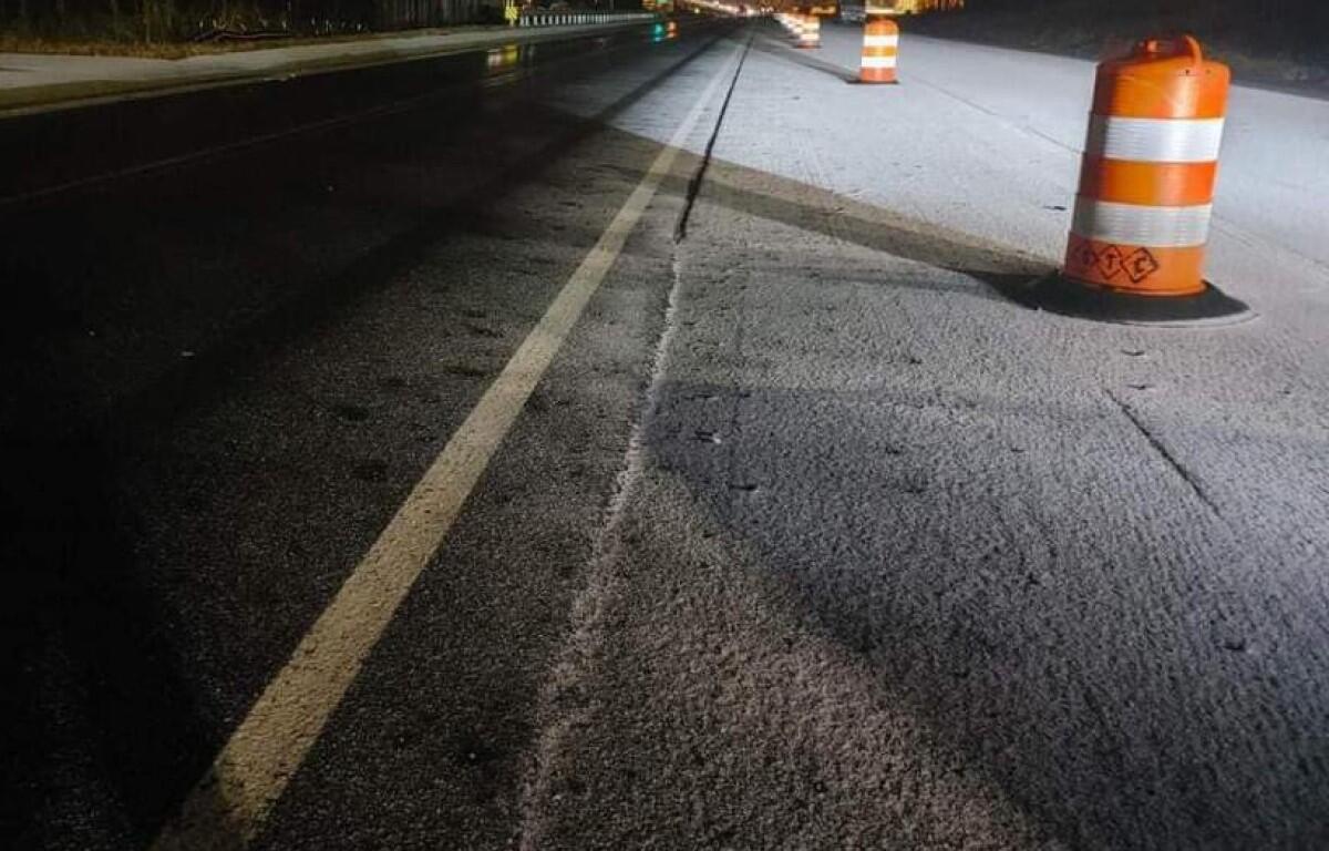
Update, 7:45 a.m.: There have been multiple accidents on Interstate 24 in both directions, according to the Montgomery County Sheriff’s Office. The interstate is covered in either ice, sleet, snow or a combination.
The NWS Winter Weather Advisory has been extended until 11 a.m. in Montgomery County.
Previously:
CLARKSVILLE, TN (CLARKSVILLE NOW) – Clarksville woke to a dusting of snow, with bridges and overpasses covered in icy sleet, and more could be on the way.
“We still expect some additional light mixed precipitation to move across the mid state early this morning,” according to the National Weather Service. “This additional precipitation will only act to further impact the hazardous driving conditions across the area.”
Montgomery County remains under a Winter Weather Advisory through 8 a.m.
There were reports of patchy black ice on some roads across the county.
“Be especially cautious and aware that back ice, or ice you cannot see, is likely and very dangerous even though it is not visible,” the NWS said.
LIVE VIDEO: Click here to see conditions on Clarksville traffic cameras.
CLOSINGS: APSU, city and county offices opening 2 hours late
Flooding on rivers
Flooding caused by excessive rainfall is expected on the Cumberland and Red Rivers.
On the Cumberland, the river stage was at 39.64 feet and rising as of 6 a.m. today. The river is expected to rise to a crest of 41.5 feet just after midnight tonight. Action stage is 40 feet. Flood stage is 46 feet.
For the Red River, elevated river levels are forecast from this evening to early Saturday afternoon.
At 6:30 a.m. today, the stage was 29.61 feet and rising. The river is expected to rise to a crest of 29.8 feet at noon. Action stage is 25.0 feet. Flood stage is 30.0 feet.
Clarksville forecast
Here’s the day-by-day outlook.
Early this morning: Cloudy with a chance of light freezing rain and snow showers possibly mixed with sleet. Patchy freezing fog. Little or no new snow and sleet accumulation. North winds 5 to 15 mph. Chance of precipitation 50 percent.
Today: Mostly cloudy. Chance of light freezing drizzle and slight chance of flurries early in the morning. Highs in the upper 20s. North winds 5 to 15 mph. Chance of precipitation 20 percent.
Tonight: Mostly clear. Lows around 13. Northwest winds 5 to 10 mph.
Saturday: Mostly sunny. Highs in the lower 30s. North winds up to 5 mph.
Saturday Night: Mostly clear. Lows around 18. East winds up to 5 mph shifting to the southeast after midnight.
Sunday: Sunny. Highs in the mid 40s. Southwest winds up to 10 mph.
Sunday Night: Mostly clear. Lows in the lower 20s.
This article will be updated.