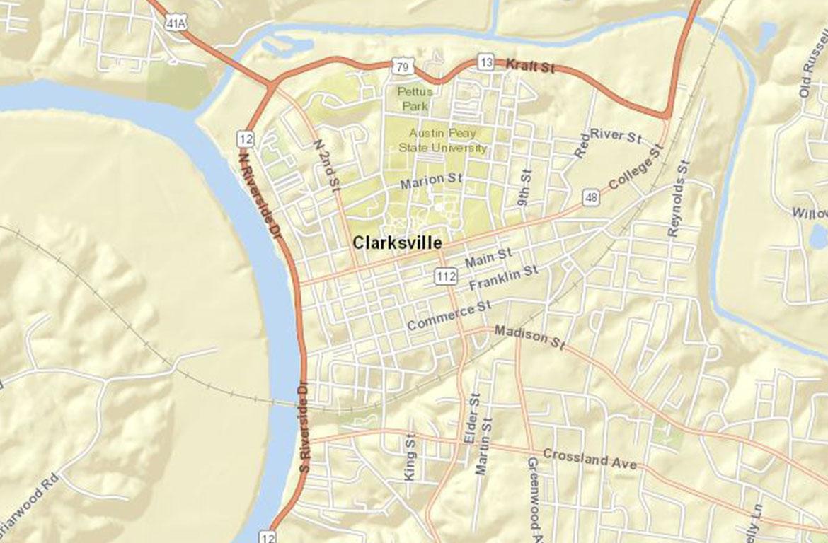
CLARKSVILLE, Tenn. (CLARKSVILLENOW) – The Clarksville Police Department has launched CRIMEMAPPING, a tool that gives the public the ability to know what is happening in their community while enhancing the department’s transparency.
The map provides the public access to specified generalized data which is extracted from police department records. The public sees filtered data from the records management system that conforms to privacy standards. Victim names and addresses are not displayed.
Citizens can choose what information or incidents to display on CrimeMapping and gives users the power to set their own crime alerts around specific addresses. Data can be filtered by date and crime type and create charts based on the crime incidents that are shown on the map.
Citizens can view crime activity within a specified radius from any location such as a residence, business, or school address or display the distance from any crime to any address of interest.
The data record file is updated/extracted daily around 9 a.m.
For more information about this new map, visit the website.


